Idaho Social Studies 2.SS.2.1.f
The Standard
- 2.SS.2.1
- Develop geographic mapping skills using maps and globes by
identifying boundary lines to separate states
Idaho Content Standards: K-12 Social Studies · Geography: Students will analyze the spatial organizations of people, places, and environment on the earth’s surface and explain how human actions modify the physical environment and how physical systems affect human activity and living conditions.
Teacher's field guide
What This Standard Means
What Students Need to Do
- Students find the lines on a map that separate one state from another. They use those lines to tell where a state ends and its neighbor begins.
What Mastery Looks Like
- A student can trace Idaho’s border on a map and point to the line it shares with Oregon. They can tell that a road crossing the line does not change where the border is.
Common Misconceptions
- Students may mistake a road or river for a state boundary. They may also think the line shown on a map is painted on the ground.
How to Assess It
- Give students a map showing Idaho, Oregon, roads, and state boundaries. Ask them to trace the line between Idaho and Oregon, then circle one road that crosses it.
Lesson moves
Ways to Teach It
Give pairs yarn and a printed map of Idaho and nearby states; have them lay yarn along Idaho’s border.
Show a map with Idaho, Oregon, and a road; ask, “How do you know where Idaho ends?”
Play border hunt: name two neighboring states and have students trace their shared line on a printed map.
On a road map, draw a trip from Boise to Ontario, Oregon, and mark where the route crosses the state line.
Free download
Printable 2.SS.2.1.f Worksheet
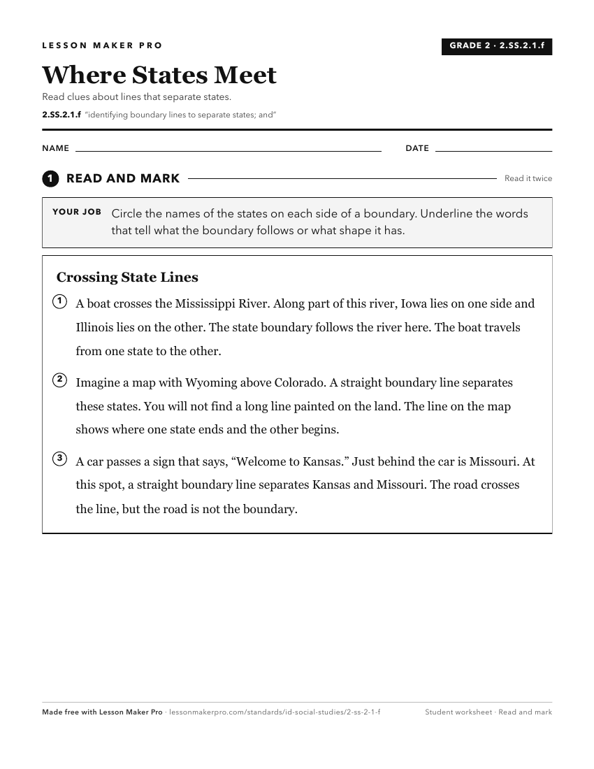
A ready-to-print activity worksheet aligned to 2.SS.2.1.f, with an answer key for the teacher on its own page. No account needed.
PDF, US Letter, prints cleanly in black and white.
Download the worksheetKeep exploring
Related Standards
- 2.SS.2.1.e
identifying major rivers, mountain ranges, lakes, and other physical features
- 1.SS.2.1.c
locating Idaho, the United States, continents, and oceans on maps and globes
- K.SS.2.1.d
identifying the geographic location of the United States and Idaho on a map and globe.
- 2.SS.2.1.c
locating the countries of North America and the bordering oceans
Turn this exact standard into a lesson
Grade, subject, topic, and the complete standard are prefilled. Create one free, no account needed.
Also for this standard:Make a WorksheetMake a QuizMake a Sub Lesson