Idaho Social Studies 1.SS.2.1
Standard Cluster
Develop geographic skills by: using basic map symbols, including references to land, water, cities, and roads; using cardinal directions on maps; locating Idaho, the United States, continents, and oceans on maps and globes; and constructing simple maps and including a title, map legend or key, and compass rose.
Idaho Content Standards: K-12 Social Studies
Cluster contents
Standards in This Cluster
1.SS.2.1 is a cluster heading. These are the individual standards under it.
- 1.SS.2.1.a
using basic map symbols, including references to land, water, cities, and roads
- 1.SS.2.1.b
using cardinal directions on maps
- 1.SS.2.1.c
locating Idaho, the United States, continents, and oceans on maps and globes
- 1.SS.2.1.d
constructing simple maps and including a title, map legend or key, and compass rose.
Teacher's field guide
What This Cluster Means
What Students Need to Do
- Students use map symbols to tell land, water, cities, and roads apart. They use north, south, east, and west to describe locations and find Idaho, the United States, continents, and oceans on maps and globes. They draw a map with a title, key, and compass rose.
What Mastery Looks Like
- A student can find Idaho within the United States and point to North America and the Pacific Ocean on a globe. They can use a key to follow a road to a city and say which direction the water is from it. Their own map has a title, a key for each feature, and a compass rose.
Common Misconceptions
- Students may point to the whole United States when asked for Idaho, or call a continent a country. They may mistake a blue river for a road if they skip the key. Some use left and right instead of checking the compass rose for east and west.
How to Assess It
- Give students U.S. and world maps, plus an empty box. Ask them to circle Idaho and the United States, mark one continent and ocean, then draw a map with a title, compass rose, and key for land, water, a city, and a road. Ask what lies north of their city.
Lesson moves
Ways to Teach It
Make a paper map with blue water, green land, yarn roads, and dot cities; add a title, key, and compass rose.
Show a playground map and ask, "What would you pass walking north from the swings to the slide? Which symbol helped you?"
Play map hunt: call out Idaho, United States, North America, and Pacific Ocean; partners point to each on a map or globe.
Use a local park map to find a path from the entrance to the pond; name each turn north, south, east, or west.
Free download
Printable 1.SS.2.1 Worksheet
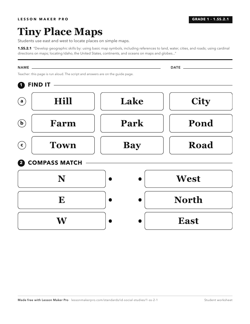
A ready-to-print activity worksheet aligned to 1.SS.2.1, with an answer key for the teacher on its own page. No account needed.
PDF, US Letter, prints cleanly in black and white.
Download the worksheetKeep exploring
Related Standards
- 6-9.WH.2.1
Develop and interpret different kinds of maps, globes, graphs, charts, databases, and models.
- K.SS.2.1
Demonstrate an understanding of maps and globes by:
- 2.SS.2.1
Develop geographic mapping skills using maps and globes by
- 5.SS.2.4
Read, analyze, and interpret maps, including the use of latitude and longitude aerial photography, satellite images, and other geospatial products.
Turn this cluster into a lesson
Grade, subject, topic, and the complete cluster are prefilled. Create one free, no account needed.
Also for this cluster:Make a WorksheetMake a QuizMake a Sub Lesson