Idaho Social Studies 2.SS.2.1.b
The Standard
- 2.SS.2.1
- Develop geographic mapping skills using maps and globes by
applying knowledge of cardinal directions to use a compass rose
Idaho Content Standards: K-12 Social Studies · Geography: Students will analyze the spatial organizations of people, places, and environment on the earth’s surface and explain how human actions modify the physical environment and how physical systems affect human activity and living conditions.
Teacher's field guide
What This Standard Means
What Students Need to Do
- Students use a compass rose to find north, south, east, and west on a map. They describe where one place is in relation to another.
What Mastery Looks Like
- A student can point to each direction using the compass rose, even when north is not at the top of the page. They can tell whether the library is east or west of the park.
Common Misconceptions
- Students may think north is always at the top of the page. They may mix up east and west or use their own left and right instead of the map's directions.
How to Assess It
- Draw a map with a park in the center, a tree above it, and a compass rose with north pointing left. Ask, "Which direction is the tree from the park?"
Lesson moves
Ways to Teach It
Tape a compass rose on the floor, place a school card at its center, and have students step north, south, east, and west.
Show a map with north pointing sideways and ask, "How can you find east without using the page edges?"
Play grid-map bingo: label one square "park," then call "one square west of the park" for students to mark.
Sketch the schoolyard with a compass rose, then ask students which part of the yard lies west of the playground.
Free download
Printable 2.SS.2.1.b Worksheet
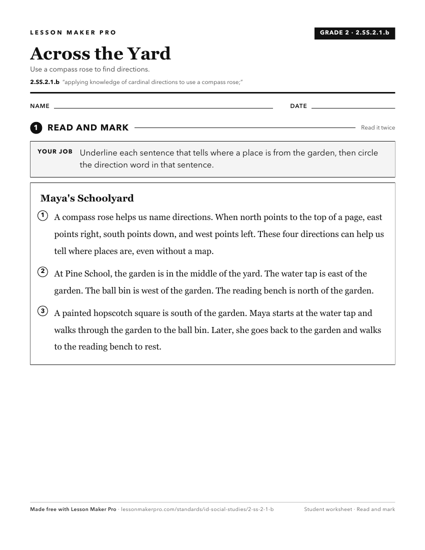
A ready-to-print activity worksheet aligned to 2.SS.2.1.b, with an answer key for the teacher on its own page. No account needed.
PDF, US Letter, prints cleanly in black and white.
Download the worksheetKeep exploring
Related Standards
- 3.SS.2.1
Develop an understanding of map reading by analyzing maps and globes using standard terms, including country, North Pole, Equator, Prime Meridian, hemisphere, r...
- 1.SS.2.1.d
constructing simple maps and including a title, map legend or key, and compass rose.
- K.SS.2.1
Demonstrate an understanding of maps and globes by:
- 1.SS.2.1.b
using cardinal directions on maps
Turn this exact standard into a lesson
Grade, subject, topic, and the complete standard are prefilled. Create one free, no account needed.
Also for this standard:Make a WorksheetMake a QuizMake a Sub Lesson