Texas TEKS 8.10
TEKS Knowledge Statement (Expectation Cluster)
Geography. The student understands the location and characteristics of places and regions of the United States, past and present. The student is expected to: locate places and regions directly related to major eras and turning points in the United States during the 17th, 18th, and 19th centuries; compare places and regions of the United States in terms of physical and human characteristics; and analyze the effects of physical and human geographic factors such as weather, landforms, waterways, transportation, and communication on major historical events in the United States.
Texas Essential Knowledge and Skills for Social Studies
Cluster contents
Student Expectations in This Statement
8.10 is a TEKS knowledge and skills statement. These are the student expectations under it.
- 8.10.A
locate places and regions directly related to major eras and turning points in the United States during the 17th, 18th, and 19th centuries
- 8.10.B
compare places and regions of the United States in terms of physical and human characteristics
- 8.10.C
analyze the effects of physical and human geographic factors such as weather, landforms, waterways, transportation, and communication on major historical events...
Teacher's field guide
What This Cluster Means
What Students Need to Do
- Students locate places and regions tied to major U.S. events from the 1600s through the 1800s. They compare physical features and human features, then explain how geography shaped events, movement, trade, and communication.
What Mastery Looks Like
- Students accurately label key places and regions on period maps. They use specific geographic evidence, such as rivers, mountains, roads, or population patterns, to explain an event or compare regions.
Common Misconceptions
- Students may use modern borders for earlier eras or confuse physical features with human features. They may name a geographic feature without explaining its effect, or assume geography alone caused an event.
How to Assess It
- Give students a blank U.S. map and ask them to mark the Mississippi River, New Orleans, and Union and Confederate regions. Have them explain one way the river affected the Civil War.
Lesson moves
Ways to Teach It
Layer tracing paper over a historical map to mark waterways, landforms, settlements, roads, and battle sites, then identify patterns.
Write a claim explaining which geographic factor most influenced westward expansion, using two labeled map details as evidence.
Play a map clue game where teams identify a place or region from clues about location, landforms, transportation, and historical events.
Compare a current highway or rail map with an 1800s transportation map and explain why major routes follow certain rivers, passes, or cities.
Free download
Printable 8.10 Worksheet
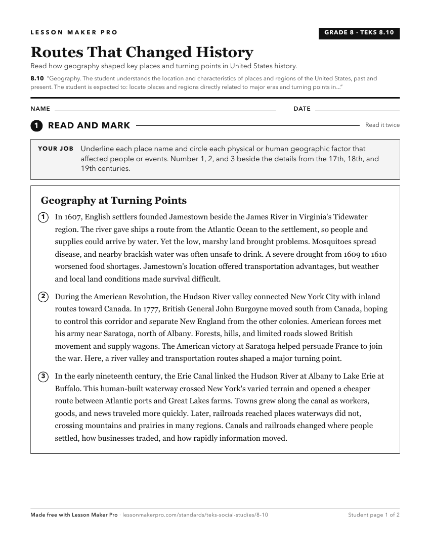
A ready-to-print activity worksheet aligned to 8.10, with an answer key for the teacher on its own page. No account needed.
PDF, US Letter, prints cleanly in black and white.
Download the worksheetKeep exploring
Related Standards
- 2.4
Geography. The student understands the location of places in their community, state, country, and the world. The student is expected to:
- 5.6
Geography. The student understands places and regions in the United States. The student is expected to:
- 1.3
Geography. The student understands the relative location of places. The student is expected to:
- 7.8
Geography. The student understands the location and characteristics of places and regions of Texas. The student is expected to:
Turn this cluster into a lesson
Grade, subject, topic, and the complete cluster are prefilled. Create one free, no account needed.
Also for this cluster:Make a WorksheetMake a QuizMake a Sub Lesson