Texas TEKS 2.4
TEKS Knowledge Statement (Expectation Cluster)
Geography. The student understands the location of places in their community, state, country, and the world. The student is expected to: identify major landforms and bodies of water, including each of the seven continents and each of the oceans, on maps and globes; and locate places, including the local community, Texas, the United States, the state capital, the U.S. capital, and the bordering countries of Canada and Mexico on maps and globes.
Texas Essential Knowledge and Skills for Social Studies
Cluster contents
Student Expectations in This Statement
2.4 is a TEKS knowledge and skills statement. These are the student expectations under it.
- 2.4.A
identify major landforms and bodies of water, including each of the seven continents and each of the oceans, on maps and globes
- 2.4.B
locate places, including the local community, Texas, the United States, the state capital, the U.S. capital, and the bordering countries of Canada and Mexico on...
Teacher's field guide
What This Cluster Means
What Students Need to Do
- Students find and name the seven continents and five oceans on maps and globes. They also locate their community, Texas, the United States, Austin, Washington, D.C., Canada, and Mexico.
What Mastery Looks Like
- Students point to each requested place or feature without relying on a labeled model. They explain that Austin is in Texas and Washington, D.C., is in the United States but not in a state. They know countries are on continents.
Common Misconceptions
- Students may confuse a continent with a country, or an ocean with a smaller body of water. They may mix up Austin and Washington, D.C., or place Canada south of the United States.
How to Assess It
- Give students a blank world map and a U.S. map. Ask them to label three named continents, two named oceans, Texas, Austin, Canada, Mexico, and Washington, D.C.
Lesson moves
Ways to Teach It
Place continent, ocean, country, state, and city cards on a large floor map, then have students stand beside each named location.
Ask students to write directions explaining where Texas is in relation to Mexico, Canada, and the Atlantic and Pacific Oceans.
Play Map Point Relay, where teams take turns pointing to a named continent, ocean, country, state, or capital.
Use a local weather map to trace how a storm might travel from an ocean across the United States toward the community.
Free download
Printable 2.4 Worksheet
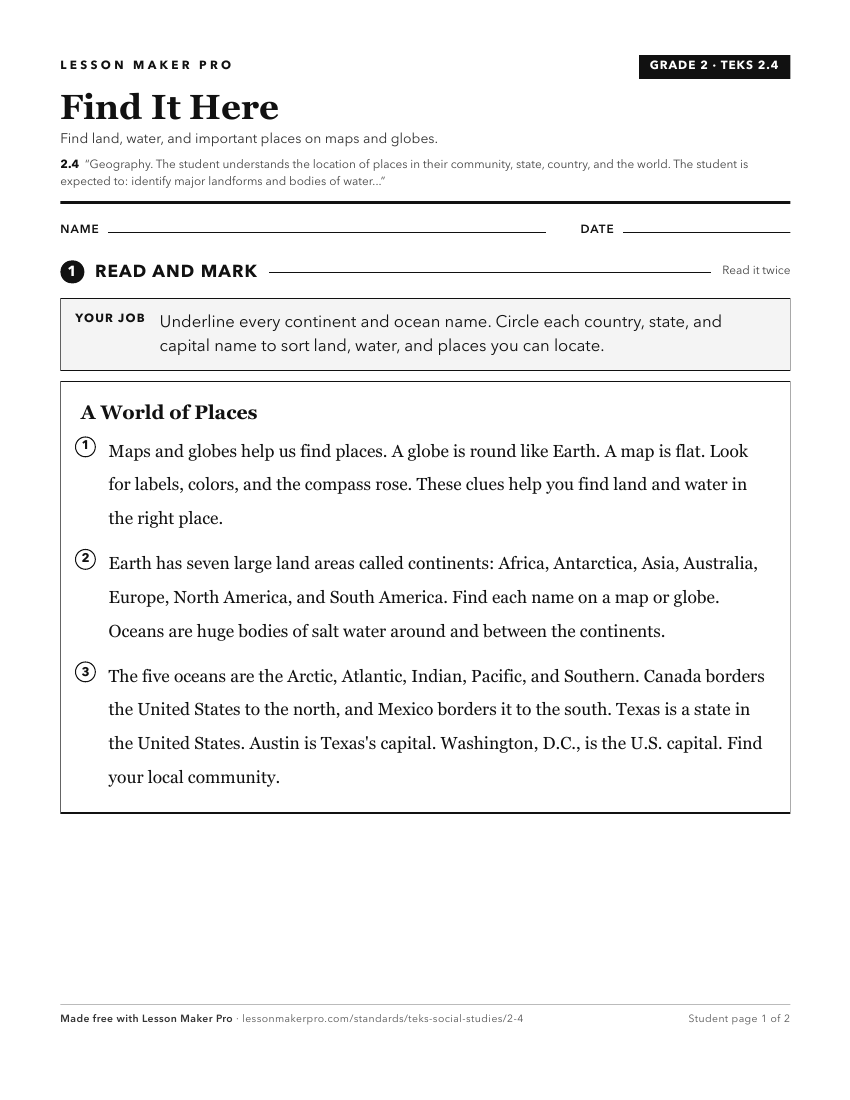
A ready-to-print activity worksheet aligned to 2.4, with an answer key for the teacher on its own page. No account needed.
PDF, US Letter, prints cleanly in black and white.
Download the worksheetKeep exploring
Related Standards
- 8.10
Geography. The student understands the location and characteristics of places and regions of the United States, past and present. The student is expected to:
- 5.6
Geography. The student understands places and regions in the United States. The student is expected to:
- 1.3
Geography. The student understands the relative location of places. The student is expected to:
- K.3
Geography. The student understands the concept of location. The student is expected to:
Turn this cluster into a lesson
Grade, subject, topic, and the complete cluster are prefilled. Create one free, no account needed.
Also for this cluster:Make a WorksheetMake a QuizMake a Sub Lesson