Texas TEKS 2.4.B
The Standard
- 2.4
- Geography. The student understands the location of places in their community, state, country, and the world. The student is expected to:
locate places, including the local community, Texas, the United States, the state capital, the U.S. capital, and the bordering countries of Canada and Mexico on maps and globes.
Texas Essential Knowledge and Skills for Social Studies
Teacher's field guide
What This Standard Means
What Students Need to Do
- Students point to and label their local community, Texas, and the United States at the correct map scale. They identify Austin and Washington, D.C., then find Canada and Mexico on maps and globes.
What Mastery Looks Like
- Given several unlabeled maps and a globe, a student selects the right one for each place. The student accurately points to or labels all locations and names both capitals.
Common Misconceptions
- Students may confuse cities, states, and countries, such as calling Austin a state or Mexico a city. They may mix up Austin and Washington, D.C., or reverse Canada and Mexico. Some can find places on a flat map but not on a globe.
How to Assess It
- Display a local map, a U.S. map, a North America map, and a globe. Ask each student to point to the local community, Texas, the United States, Austin, Washington, D.C., Canada, and Mexico.
Lesson moves
Ways to Teach It
Build a nested map flipbook with pages for the local community, Texas, United States, and North America, then add labeled place stickers.
Students write: Our community is in Texas, Texas is in the United States, and the United States borders Canada and Mexico.
Play Find It Fast: call a place, and pairs race to touch it on the correct classroom map or globe.
Plan a pretend trip from your community to Austin, Washington, D.C., Canada, or Mexico, then trace the route on maps.
Free download
Printable 2.4.B Worksheet
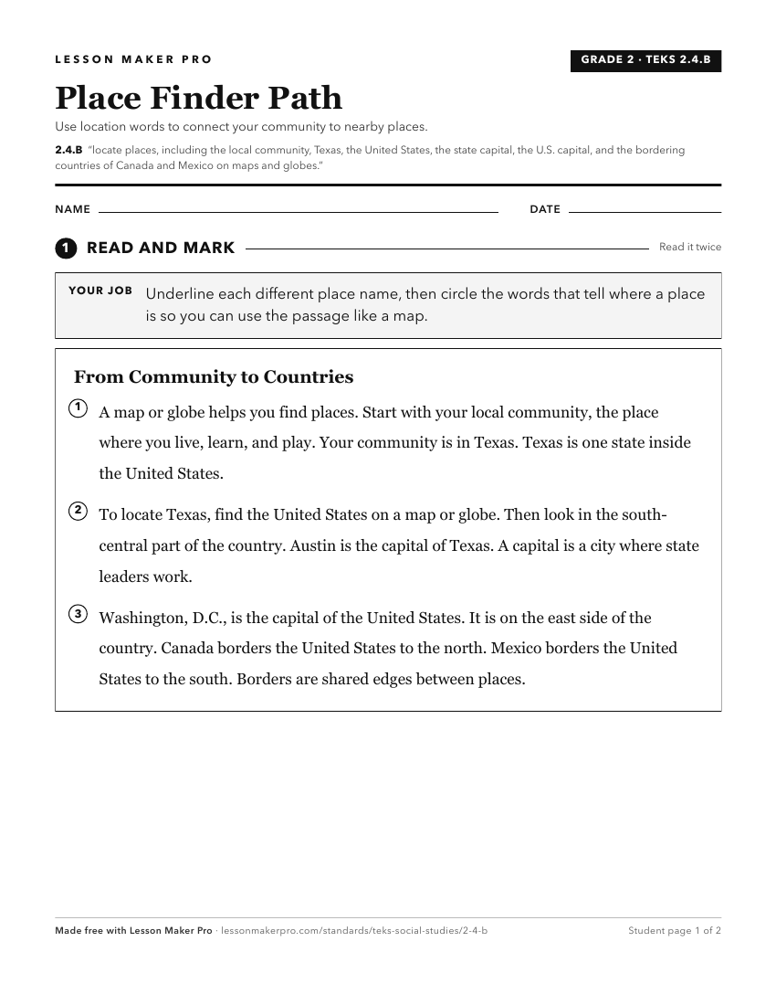
A ready-to-print activity worksheet aligned to 2.4.B, with an answer key for the teacher on its own page. No account needed.
PDF, US Letter, prints cleanly in black and white.
Download the worksheetKeep exploring
Related Standards
- 3.4.A
use cardinal and intermediate directions to locate places on maps and globes in relation to the local community
- 5.6.C
locate on a map important political features such as the five largest cities by population in the United States and the 50 states
- 7.8.B
locate and compare places of importance in Texas in terms of physical and human characteristics such as major cities, waterways, natural and historic landmarks,...
- 1.4.B
locate and explore the community, Texas, and the United States on maps and globes.
Turn this exact standard into a lesson
Grade, subject, topic, and the complete standard are prefilled. Create one free, no account needed.
Also for this standard:Make a WorksheetMake a QuizMake a Sub Lesson