Virginia SOL WG.1
SOL Standard (Skills Cluster)
The student will apply history and social science skills to explain how geographic information and geospatial tools are used to make decisions by explaining how characteristics of regions have led to regional labels; describing how regional landscapes reflect the physical environment and the cultural characteristics of their inhabitants; analyzing how cultural characteristics, including the world’s major languages, ethnicities, and religions, link or divide regions; and explaining how cartography is used to reflect regional perspectives, points of view, and perceptions of an area and the creation of mental maps.
Virginia Standards of Learning for History and Social Science
Cluster contents
Skills in This Standard
WG.1 is a Standards of Learning history and social science standard. These are the skills expectations under it.
- WG.1.a
explaining how characteristics of regions have led to regional labels
- WG.1.b
describing how regional landscapes reflect the physical environment and the cultural characteristics of their inhabitants
- WG.1.c
analyzing how cultural characteristics, including the world’s major languages, ethnicities, and religions, link or divide regions
- WG.1.d
explaining how cartography is used to reflect regional perspectives, points of view, and perceptions of an area and the creation of mental maps.
Teacher's field guide
What This Cluster Means
What Students Need to Do
- Students use maps, satellite images, and data layers to explain why people group places into regions. They connect visible landscapes to climate, landforms, settlement, and cultural practices. They examine how language, ethnicity, and religion connect or separate places, then explain how map choices and mental maps shape perception.
What Mastery Looks Like
- Given physical and cultural evidence, students draw a reasonable regional boundary and defend it with specific details. They compare two maps of the same place, explain how labels, colors, symbols, scale, or projection influence the viewer, and sketch a clear mental map.
Common Misconceptions
- Students may treat regions as fixed, official areas rather than useful groupings that can overlap or change. They may assume everyone within a region shares one culture or that cultural boundaries match political borders. They often see maps as neutral facts and overlook how projections, labels, colors, omissions, and personal experience shape perception.
How to Assess It
- Give students a physical map, language map, and landscape photo of one area. Ask them to draw a regional boundary, cite two supporting details, label one cultural link or division, and explain one map choice.
Lesson moves
Ways to Teach It
Have groups sort climate maps, language maps, and landscape photos into regions, then mark and defend their boundaries with sticky notes.
Compare two labels for the same area, then write which evidence supports each label and whose viewpoint each may reflect.
Run a map detective game where teams identify how projection, color, scale, symbols, and omitted details change an area's appearance.
Overlay printed flood, population, and road maps, then recommend a location for a new clinic in a three-sentence memo.
Free download
Printable WG.1 Worksheet
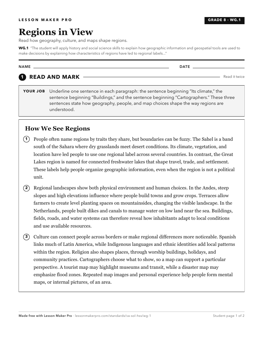
A ready-to-print activity worksheet aligned to WG.1, with an answer key for the teacher on its own page. No account needed.
PDF, US Letter, prints cleanly in black and white.
Download the worksheetKeep exploring
Related Standards
- 1.6
The student will apply history and social science skills to develop geographic skills by
- WG.17
The student will apply history and social science skills to analyze strategic geographic features and resources by
- 2.11
The student will apply history and social science skills to develop geographic mapping skills using world maps and globes by
- K.7
The student will apply history and social science skills to demonstrate an understanding of maps and globes by
Turn this cluster into a lesson
Grade, subject, topic, and the complete cluster are prefilled. Create one free, no account needed.
Also for this cluster:Make a WorksheetMake a QuizMake a Sub Lesson