Virginia SOL WG.1.a
The Standard
- WG.1
- The student will apply history and social science skills to explain how geographic information and geospatial tools are used to make decisions by
explaining how characteristics of regions have led to regional labels
Virginia Standards of Learning for History and Social Science · The student will apply history and social science skills to explain how geographic information and geospatial tools are used to make decisions by
Teacher's field guide
What This Standard Means
What Students Need to Do
- Students identify physical, cultural, economic, or political traits used to group places. They connect those traits to names people use for regions. They also recognize that labels can overlap, shift, and reflect a viewpoint.
What Mastery Looks Like
- Given a label such as Latin America or the Rust Belt, students can cite map or data evidence that explains the name. They can explain why boundaries may be debated or why the label does not fit every place equally.
Common Misconceptions
- Students may treat every regional boundary as official and fixed. They may assume all places within a region are alike, or name a trait without explaining how it produced the label.
How to Assess It
- Show a map of historic U.S. manufacturing centers and recent factory job losses. Ask, “How did these patterns lead to the name Rust Belt, and why is its boundary not exact?”
Lesson moves
Ways to Teach It
Give groups climate, language, industry, and landform cards to sort under Latin America, Rust Belt, Sahel, and Ring of Fire labels.
Have students answer, “When does a regional label help, and when can it mislead?” using one named region and two pieces of evidence.
Play Mystery Region: teams hear three clues, name the regional label, and earn a bonus point for explaining the label’s origin.
Students collect three news headlines using labels such as Middle East or Global South, then identify the traits and viewpoint behind each label.
Free download
Printable WG.1.a Worksheet
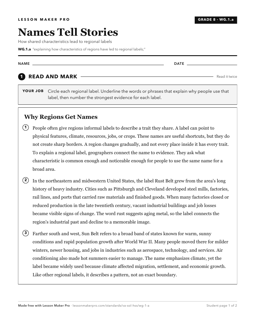
A ready-to-print activity worksheet aligned to WG.1.a, with an answer key for the teacher on its own page. No account needed.
PDF, US Letter, prints cleanly in black and white.
Download the worksheetKeep exploring
Related Standards
- WG.1.c
analyzing how cultural characteristics, including the world’s major languages, ethnicities, and religions, link or divide regions
- USI.5.d
explaining the specialization and interdependence of the regions
- WG.1.d
explaining how cartography is used to reflect regional perspectives, points of view, and perceptions of an area and the creation of mental maps.
- WG.1.b
describing how regional landscapes reflect the physical environment and the cultural characteristics of their inhabitants
Turn this exact standard into a lesson
Grade, subject, topic, and the complete standard are prefilled. Create one free, no account needed.
Also for this standard:Make a WorksheetMake a QuizMake a Sub Lesson