Virginia SOL 2.11
SOL Standard (Skills Cluster)
The student will apply history and social science skills to develop geographic mapping skills using world maps and globes by locating the countries of North America and the bordering oceans; identifying major rivers, mountain ranges, lakes, and other physical features in the United States.
Virginia Standards of Learning for History and Social Science
Cluster contents
Skills in This Standard
2.11 is a Standards of Learning history and social science standard. These are the skills expectations under it.
Teacher's field guide
What This Cluster Means
What Students Need to Do
- Students locate the United States, Canada, and Mexico on maps and globes. They name the surrounding oceans and identify major U.S. rivers, mountain ranges, lakes, and other landforms.
What Mastery Looks Like
- Students accurately label key places and physical features on an unlabeled map. They can tell whether each feature is a country, ocean, river, lake, or mountain range.
Common Misconceptions
- Students may confuse countries with continents or label lakes as oceans. They may reverse the Atlantic and Pacific Oceans or treat mountain ranges as single mountains.
How to Assess It
- Give students a blank North America map. Ask them to label the United States, Canada, Mexico, three bordering oceans, one major river, one lake, and one mountain range.
Lesson moves
Ways to Teach It
Give pairs a laminated map, sticky labels, and blue yarn to mark countries, oceans, rivers, lakes, and mountain ranges.
Ask students to write directions for traveling from Canada to Mexico, naming the country crossed and nearby oceans.
Play Map Point Challenge, where students draw a feature card and point to its location on a wall map or globe.
Plan a pretend cross-country trip with three stops, including a river, a mountain range, and a lake students would see.
Free download
Printable 2.11 Worksheet
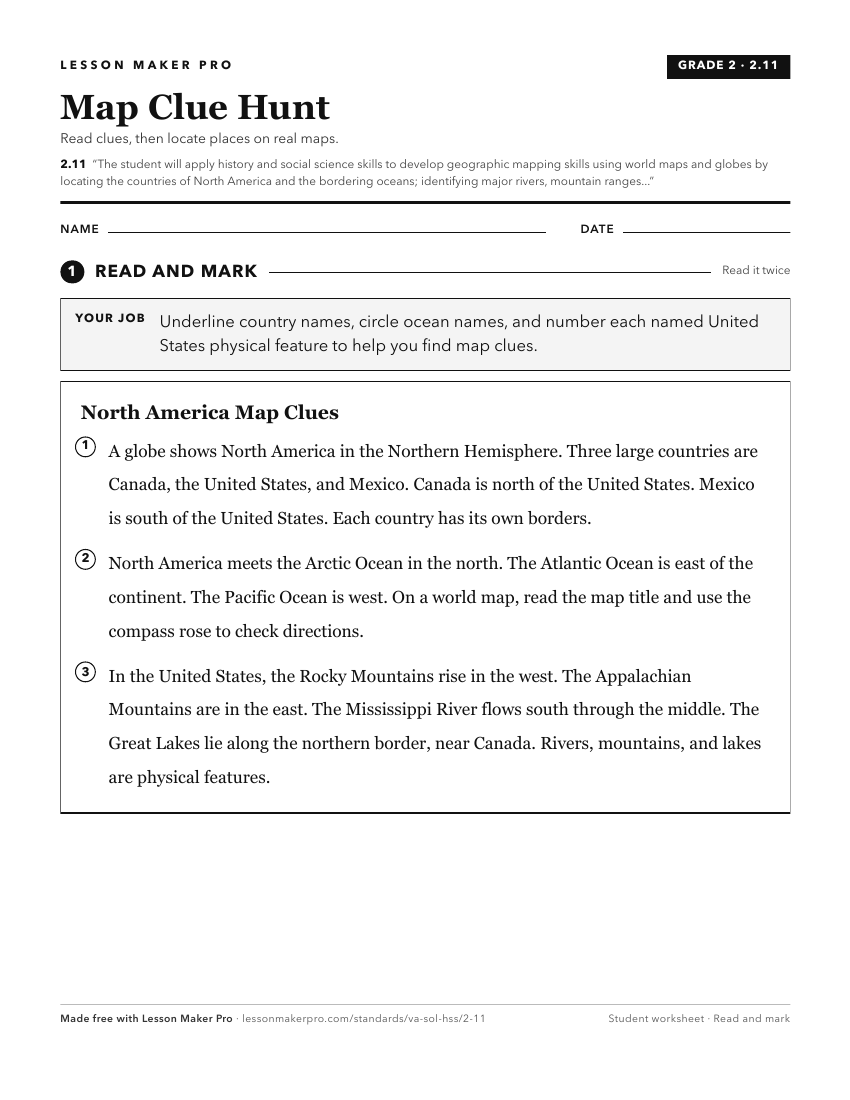
A ready-to-print activity worksheet aligned to 2.11, with an answer key for the teacher on its own page. No account needed.
PDF, US Letter, prints cleanly in black and white.
Download the worksheetKeep exploring
Related Standards
- 1.6
The student will apply history and social science skills to develop geographic skills by
- 3.3
The student will apply history and social science skills to describe major geographic features of ancient societies on a world map by
- WG.17
The student will apply history and social science skills to analyze strategic geographic features and resources by
- K.7
The student will apply history and social science skills to demonstrate an understanding of maps and globes by
Turn this cluster into a lesson
Grade, subject, topic, and the complete cluster are prefilled. Create one free, no account needed.
Also for this cluster:Make a WorksheetMake a QuizMake a Sub Lesson