Virginia SOL 2.11.a
The Standard
- 2.11
- The student will apply history and social science skills to develop geographic mapping skills using world maps and globes by
locating the countries of North America and the bordering oceans
Virginia Standards of Learning for History and Social Science
Teacher's field guide
What This Standard Means
What Students Need to Do
- Students find Canada, the United States, and Mexico on a map or globe. They identify the Atlantic, Pacific, and Arctic oceans and describe where each lies.
What Mastery Looks Like
- Students correctly label the three countries and three oceans on a blank map. They use words such as north, south, east, and west to explain locations.
Common Misconceptions
- Students may think North America means only the United States. They may switch the Atlantic and Pacific oceans or assume every country touches all three oceans.
How to Assess It
- Give students a blank map and ask them to label Canada, the United States, Mexico, and the three bordering oceans.
Lesson moves
Ways to Teach It
Give pairs a globe and six sticky labels to mark Canada, the United States, Mexico, and the Atlantic, Pacific, and Arctic oceans.
Ask students to explain which country is north of the United States and which ocean is east of it.
Play Map Relay, with teams racing to place country and ocean cards correctly on a large floor map.
Plan an imaginary trip from Virginia to Mexico, Canada, or an ocean, then trace the route and name the direction traveled.
Free download
Printable 2.11.a Worksheet
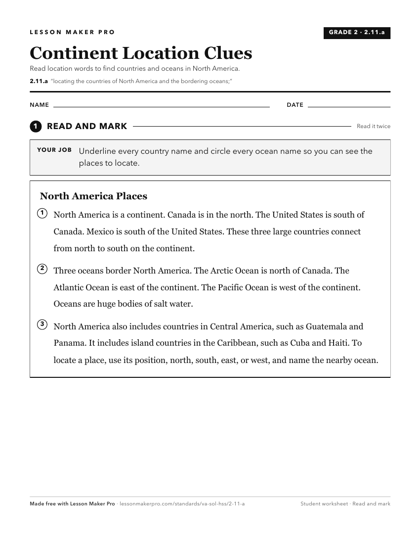
A ready-to-print activity worksheet aligned to 2.11.a, with an answer key for the teacher on its own page. No account needed.
PDF, US Letter, prints cleanly in black and white.
Download the worksheetKeep exploring
Related Standards
- USI.1.b
locating and describing major geographic regions and bodies of water of North America and their impact on the early history of the United States
- 3.2.a
locating and describing the seven continents and the five oceans
- VS.1.a
locating Virginia and its bordering states on maps of the United States and North America
- USI.1.a
locating North America in relation to the other continents and the oceans
Turn this exact standard into a lesson
Grade, subject, topic, and the complete standard are prefilled. Create one free, no account needed.
Also for this standard:Make a WorksheetMake a QuizMake a Sub Lesson