Oklahoma Social Studies WG.C.1
Standard Cluster
Use maps and other geographic representations, tools and technologies to acquire, process, and solve problems from a spatial perspective. Analyze key concepts underlying the geographical perspectives of location, space, place, scale, pattern, regionalization, and globalization. Utilize geographic skills to understand and analyze the spatial organization of people, places, and environments on the Earth’s surface. Define regions and analyze changing interconnections among places, using historical and contemporary examples. Utilize geographic technologies and geographical data including census data and imagery to draw conclusions about the influence of geography on the world’s people and places.
Oklahoma Academic Standards for Social Studies (2026)
Cluster contents
Standards in This Cluster
WG.C.1 is a cluster heading. These are the individual standards under it.
- WG.C.1.1
Analyze key concepts underlying the geographical perspectives of location, space, place, scale, pattern, regionalization, and globalization.
- WG.C.1.2
Utilize geographic skills to understand and analyze the spatial organization of people, places, and environments on the Earth’s surface.
- WG.C.1.3
Define regions and analyze changing interconnections among places, using historical and contemporary examples.
- WG.C.1.4
Utilize geographic technologies and geographical data including census data and imagery to draw conclusions about the influence of geography on the world’s peop...
Teacher's field guide
What This Cluster Means
What Students Need to Do
- Students use maps, satellite images, and census data to find patterns in where people live. They compare places at different map scales, draw region boundaries, and explain how connections between places change over time.
What Mastery Looks Like
- Given population maps from two years, a student can point to an area of growth and use other map details to suggest why it grew. They can defend a region boundary and explain how a new road or trade link changed ties between places.
Common Misconceptions
- Students may treat region boundaries as fixed or assume nearby places are always closely connected. They may use a county total to describe every neighborhood, or mistake a pattern on a map for proof of its cause.
How to Assess It
- Give students two dated census population maps and a highway map. Ask them to circle an area of growth, explain how roads may have shaped it, and draw a region boundary with one reason.
Lesson moves
Ways to Teach It
Place tracing paper over printed population and road maps; have students trace settlement clusters and circle roads that connect them.
Compare a 1950 highway map with a current one; ask students to write how new roads might change a town's ties to its neighbors.
Give pairs a city map and a world map; have them race to choose which answers 'Where is the hospital?' or 'Where is Ghana?'
Use a local census population map and road map to choose a site for a new public clinic, then justify it with two mapped facts.
Free download
Printable WG.C.1 Worksheet
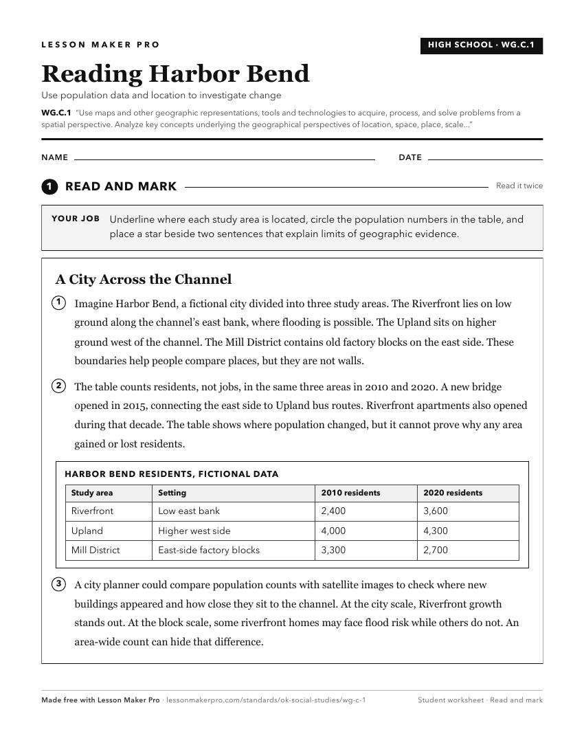
A ready-to-print activity worksheet aligned to WG.C.1, with an answer key for the teacher on its own page. No account needed.
PDF, US Letter, prints cleanly in black and white.
Download the worksheetKeep exploring
Related Standards
- 4.C.2.1.B
Use maps and other geographic representations (e.g., globes, charts, graphs) and geographic technologies to draw conclusions (e.g., settlement patterns, populat...
- 4.C.2.1
Use geographic tools to acquire and process information from a spatial perspective.
- 7.C.1
Analyze data from a geographic perspective using the skills and tools of geography.
Turn this cluster into a lesson
Grade, subject, topic, and the complete cluster are prefilled. Create one free, no account needed.
Also for this cluster:Make a WorksheetMake a QuizMake a Sub Lesson