Oklahoma Social Studies 6.C.2
Standard Cluster
Analyze the physical systems of the major regions of the Western Hemisphere. Identify and describe on a physical map the major landforms and bodies of water important to the development of each region of the Western Hemisphere. Use visual information to describe on a physical map the major climate and vegetation zones, drawing conclusions about their impact on human development. Explain how the factors of latitude, elevation, and proximity to bodies of water influence climate and human activities. Describe the distribution of natural resources found in each region, delineating between renewable and nonrenewable resources, and explaining how the relative location to such resources can influence the economic development of a region.
Oklahoma Academic Standards for Social Studies (2026)
Cluster contents
Standards in This Cluster
6.C.2 is a cluster heading. These are the individual standards under it.
- 6.C.2.1
Identify and describe on a physical map the major landforms and bodies of water important to the development of each region of the Western Hemisphere.
- 6.C.2.2
Use visual information to describe on a physical map the major climate and vegetation zones, drawing conclusions about their impact on human development.
- 6.C.2.3
Explain how the factors of latitude, elevation, and proximity to bodies of water influence climate and human activities.
- 6.C.2.4
Describe the distribution of natural resources found in each region, delineating between renewable and nonrenewable resources, and explaining how the relative l...
Teacher's field guide
What This Cluster Means
What Students Need to Do
- Students find the Andes, Great Lakes, and Amazon River on maps of the Americas. They compare climate and vegetation using latitude, elevation, and distance from water. They sort mapped resources as renewable or nonrenewable and connect their locations to jobs and trade.
What Mastery Looks Like
- A student can show how the Andes affect travel and how the Amazon River supports transport. They can use map clues to explain why a highland town has a different climate from a coastal town. They can identify forests as renewable and copper as nonrenewable, then explain how access to each affects local work.
Common Misconceptions
- Students may confuse elevation with latitude and assume every place near the equator has the same climate. They may see rivers only as barriers, missing their use for transport. They may call oil renewable or assume a nearby resource always leads to jobs, even without roads or markets.
How to Assess It
- Give students physical, climate, and resource maps of South America. Ask them to mark the Andes and Amazon River, then explain one difference in climate and work between nearby communities using a climate factor and a named resource.
Lesson moves
Ways to Teach It
Give pairs an atlas, a blank Americas map, and colored pencils; have them mark the Andes, Great Lakes, Amazon River, and nearby vegetation zones.
Ask: “Why might a mountain town and a coastal town grow different crops?” Have students cite elevation, nearby water, and map evidence.
Use a resource map and cards labeled timber, fish, copper, and oil; teams place cards in matching regions and sort renewable from nonrenewable.
Show a map of Chilean copper mines and Pacific ports; students trace a shipping route and explain how distance to the coast affects trade.
Free download
Printable 6.C.2 Worksheet
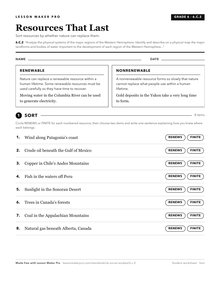
A ready-to-print activity worksheet aligned to 6.C.2, with an answer key for the teacher on its own page. No account needed.
PDF, US Letter, prints cleanly in black and white.
Download the worksheetKeep exploring
Related Standards
- 7.C.2
Analyze the physical systems of the major regions of the Eastern Hemisphere.
- 6.C.4
Analyze the interactions of humans and their environment in the Western Hemisphere.
- 6.C.3
Identify the characteristics, distribution, and demographic patterns of human populations and systems of the Western Hemisphere.
Turn this cluster into a lesson
Grade, subject, topic, and the complete cluster are prefilled. Create one free, no account needed.
Also for this cluster:Make a WorksheetMake a QuizMake a Sub Lesson