Georgia SS6G4
Georgia Standard (Element Cluster)
Locate selected features of Canada.
Georgia Standards of Excellence for Social Studies
Cluster contents
Elements in This Standard
SS6G4 is a Georgia social studies standard. These are the elements under it.
Teacher's field guide
What This Cluster Means
What Students Need to Do
- Students identify and label the Canadian Shield, Hudson Bay, Great Lakes, St. Lawrence River, Rocky Mountains, Atlantic Ocean, and Pacific Ocean. They use relative location and map features to place each one accurately.
What Mastery Looks Like
- Students can label all seven features on an unlabeled map. They can also describe each feature’s location using directions and nearby land or water.
Common Misconceptions
- Students may confuse Hudson Bay with the Great Lakes or place the Canadian Shield along Canada’s western coast. They may also mix up the Atlantic and Pacific coasts.
How to Assess It
- Give students an unlabeled map of Canada and ask them to label all seven features. Then have them write one accurate relative-location sentence.
Lesson moves
Ways to Teach It
Give pairs a blank map and labeled feature cards, then have them place and check each card using an atlas.
Ask students to explain how the Great Lakes connect to the Atlantic Ocean through the St. Lawrence River.
Play map relay, with teams taking turns placing one feature label correctly on a projected map.
Trace a cargo ship route from the Great Lakes to the Atlantic, naming each water feature along the route.
Free download
Printable SS6G4 Worksheet
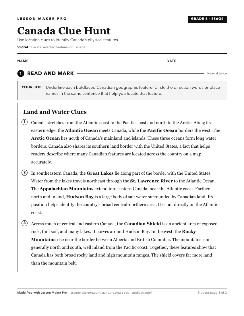
A ready-to-print activity worksheet aligned to SS6G4, with an answer key for the teacher on its own page. No account needed.
PDF, US Letter, prints cleanly in black and white.
Download the worksheetKeep exploring
Related Standards
Turn this cluster into a lesson
Grade, subject, topic, and the complete cluster are prefilled. Create one free, no account needed.
Also for this cluster:Make a WorksheetMake a QuizMake a Sub Lesson