Georgia S6E3
Georgia Standard (Element Cluster)
Obtain, evaluate, and communicate information to recognize the significant role of water in Earth processes.
Georgia Standards of Excellence for Science
Cluster contents
Elements in This Standard
S6E3 is a Georgia science standard. These are the elements under it.
- S6E3.a
Ask questions to determine where water is located on Earth's surface (oceans, rivers, lakes, swamps, groundwater, aquifers, and ice) and communicate the relativ...
- S6E3.b
Plan and carry out an investigation to illustrate the role of the sun's energy in atmospheric conditions that lead to the cycling of water.
- S6E3.c
Ask questions to identify and communicate, using graphs and maps, the composition, location, and subsurface topography of the world's oceans.
- S6E3.d
Analyze and interpret data to create graphic representations of the causes and effects of waves, currents, and tides in Earth's systems.
Teacher's field guide
What This Cluster Means
What Students Need to Do
- Students gather and compare information about where water is found, how it moves, and how it changes form. They use evidence to explain how water shapes land, affects weather, and connects Earth systems.
What Mastery Looks Like
- Students can trace water through evaporation, condensation, precipitation, runoff, and groundwater. They can explain, with evidence, how moving water causes weathering, erosion, and deposition.
Common Misconceptions
- Students may think water disappears during evaporation or that clouds are made of water vapor. They may also confuse weathering with erosion or overlook groundwater as a major water source.
How to Assess It
- Give students a diagram showing a cloud, mountain, river, and ocean. Ask them to label four water processes and explain one way water changes the land.
Lesson moves
Ways to Teach It
Pour water over sloped trays of sand and gravel, then record where erosion and deposition occur.
Write a claim explaining how the same water molecule could move from an ocean to a cloud, river, and aquifer.
Use process cards to race in teams, arranging evaporation, condensation, precipitation, runoff, infiltration, erosion, and deposition into logical sequences.
Trace rain falling near the school through gutters, storm drains, streams, and local water sources using a map.
Free download
Printable S6E3 Worksheet
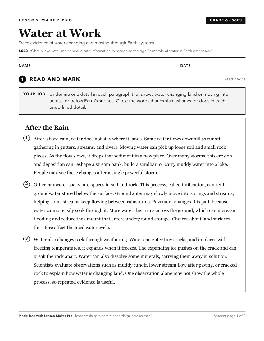
A ready-to-print activity worksheet aligned to S6E3, with an answer key for the teacher on its own page. No account needed.
PDF, US Letter, prints cleanly in black and white.
Download the worksheetKeep exploring
Related Standards
- SKE2
Obtain, evaluate, and communicate information to describe the physical attributes of earth materials (soil, rocks, water, and air).
- S4E3
Obtain, evaluate, and communicate information to demonstrate the water cycle.
- S6E6
Obtain, evaluate, and communicate information about the uses and conservation of various natural resources and how they impact the Earth.
- S6E5
Obtain, evaluate, and communicate information to show how Earth's surface is formed.
Turn this cluster into a lesson
Grade, subject, topic, and the complete cluster are prefilled. Create one free, no account needed.
Also for this cluster:Make a WorksheetMake a QuizMake a Sub Lesson