Georgia S6E3.c
The Standard
- S6E3
- Obtain, evaluate, and communicate information to recognize the significant role of water in Earth processes.
Ask questions to identify and communicate, using graphs and maps, the composition, location, and subsurface topography of the world's oceans.
Georgia Standards of Excellence for Science · Obtain, evaluate, and communicate information to recognize the significant role of water in Earth processes.
Teacher's field guide
What This Standard Means
What Students Need to Do
- Students use maps and graphs to locate oceans, compare salinity, and describe what seawater contains. They ask answerable questions and explain ocean-floor features shown in depth profiles.
What Mastery Looks Like
- Students can identify the five oceans and interpret a salinity graph or depth map accurately. They can distinguish shelves, slopes, plains, ridges, seamounts, and trenches using evidence from the data.
Common Misconceptions
- Students may think the ocean floor is flat or that trenches are underwater cracks with no bottom. They may also assume every ocean has the same salinity and confuse continents with ocean boundaries.
How to Assess It
- Give students a labeled depth profile and salinity graph. Ask: What two ocean-floor features are shown, and what claim about seawater does the graph support?
Lesson moves
Ways to Teach It
Shape clay in a clear tray to model a continental shelf, slope, abyssal plain, ridge, seamount, and trench.
Write three questions you could answer using a world ocean map, a salinity graph, and an ocean-depth profile.
Play Ocean Feature Match by pairing feature cards with depth-profile images and brief descriptions.
Plan a submarine cable route on a bathymetric map, then explain which ocean-floor features would make construction difficult.
Free download
Printable S6E3.c Worksheet
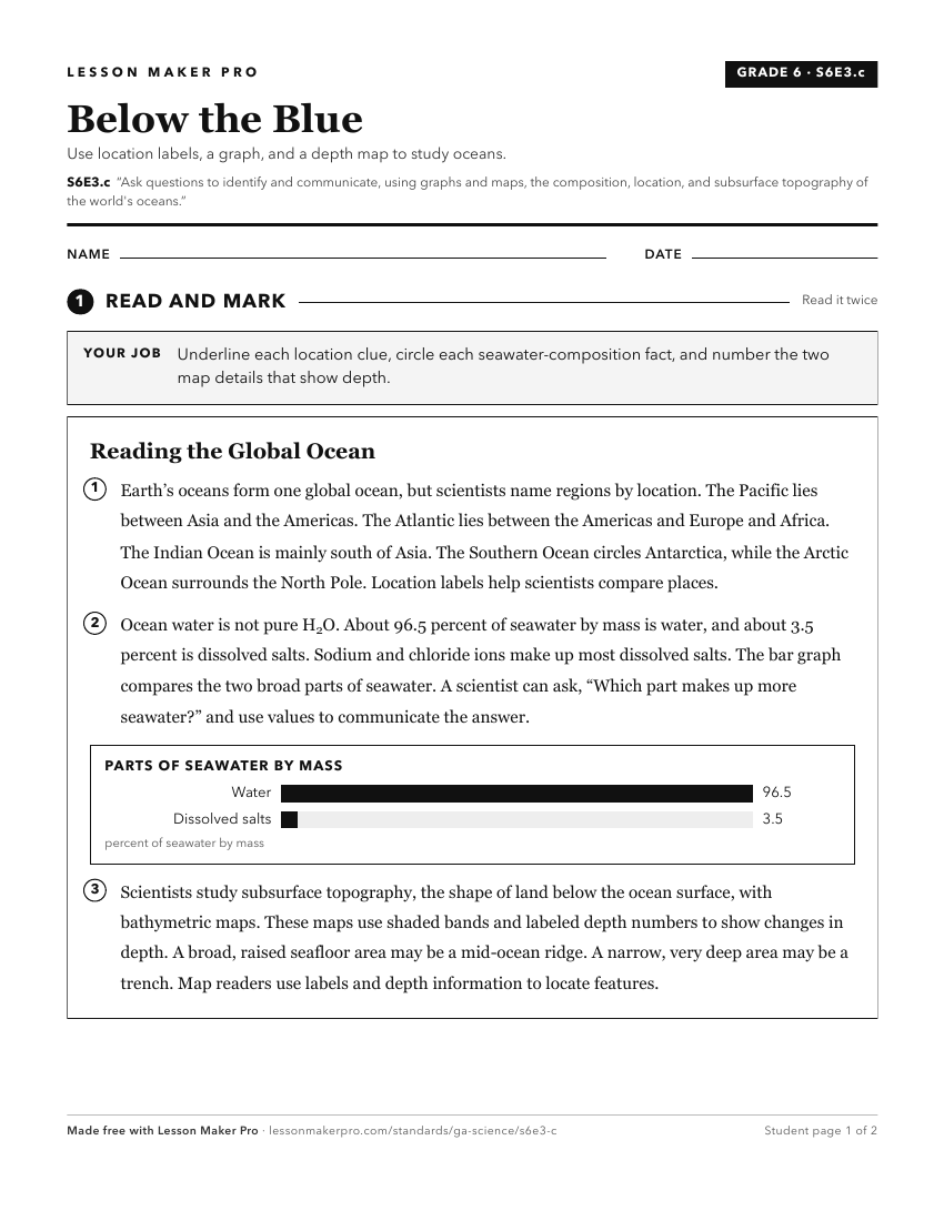
A ready-to-print activity worksheet aligned to S6E3.c, with an answer key for the teacher on its own page. No account needed.
PDF, US Letter, prints cleanly in black and white.
Download the worksheetKeep exploring
Related Standards
- SKE2.a
Ask questions to identify and describe earth materials—soil, rocks, water, and air.
- S6E3.d
Analyze and interpret data to create graphic representations of the causes and effects of waves, currents, and tides in Earth's systems.
- S6E5
Obtain, evaluate, and communicate information to show how Earth's surface is formed.
- S6E3.a
Ask questions to determine where water is located on Earth's surface (oceans, rivers, lakes, swamps, groundwater, aquifers, and ice) and communicate the relativ...
Turn this exact standard into a lesson
Grade, subject, topic, and the complete standard are prefilled. Create one free, no account needed.
Also for this standard:Make a WorksheetMake a QuizMake a Sub Lesson