Florida SS.8.G.6
Florida Standard (Benchmark Cluster)
Understand how to apply geography to interpret the past and present and plan for the future.
Florida Next Generation Sunshine State Standards for Social Studies
Cluster contents
Benchmarks in This Standard
SS.8.G.6 is a Florida social studies standard. These are the benchmarks under it.
Teacher's field guide
What This Cluster Means
What Students Need to Do
- Students use maps, spatial data, and geographic factors to explain historical and current events. They use those patterns to predict change and propose future plans.
What Mastery Looks Like
- Given maps and data, students identify a spatial pattern and explain how it affected people or events. They propose a future decision and support it with geographic evidence.
Common Misconceptions
- Students may treat maps as illustrations instead of evidence or assume geography alone determines events. They may also confuse correlation with cause or ignore changes in scale and time.
How to Assess It
- Give students a map showing flood zones, roads, and population. Ask them to recommend one site for a new shelter and cite two map details.
Lesson moves
Ways to Teach It
Layer transparent maps of Florida elevation, population, and hurricane paths, then mark where settlement risks changed over time.
Write a claim answering, “How did geography shape one Florida event without fully determining it?” and support it with two mapped facts.
Play Map Evidence Match: teams pair event cards with climate, resource, route, or landform cards and defend each match.
Review a local flood or transportation plan, then recommend one change using a map and one piece of population data.
Free download
Printable SS.8.G.6 Worksheet
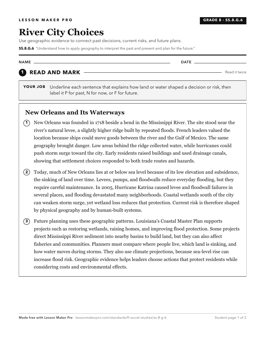
A ready-to-print activity worksheet aligned to SS.8.G.6, with an answer key for the teacher on its own page. No account needed.
PDF, US Letter, prints cleanly in black and white.
Download the worksheetKeep exploring
Related Standards
Turn this cluster into a lesson
Grade, subject, topic, and the complete cluster are prefilled. Create one free, no account needed.
Also for this cluster:Make a WorksheetMake a QuizMake a Sub Lesson