Florida SS.7.G.6
Florida Standard (Benchmark Cluster)
Understand how to apply geography to interpret the past and present, and plan for the future.
Florida Next Generation Sunshine State Standards for Social Studies
Cluster contents
Benchmarks in This Standard
SS.7.G.6 is a Florida social studies standard. These are the benchmarks under it.
Teacher's field guide
What This Cluster Means
What Students Need to Do
- Students use maps, population data, landforms, climate, resources, and migration patterns to explain events and settlement. They compare past and present patterns, then use evidence to predict changes or plan future decisions.
What Mastery Looks Like
- Given maps from different time periods, students identify changes and explain them with geographic evidence. They propose a realistic future plan and support it with data about people, places, or resources.
Common Misconceptions
- Students may treat maps as illustrations instead of evidence, or assume geography alone causes historical events. They may confuse correlation with causation or make predictions without supporting data.
How to Assess It
- Ask: “A town grew beside a river, but flood risk is increasing. Explain one past benefit, one present problem, and one future action.”
Lesson moves
Ways to Teach It
Layer tracing paper over historical and current maps, then mark changes in settlement, transportation, land use, and environmental risk.
Write a claim explaining how one geographic feature shaped a past event and still affects the area today.
Play Map Evidence Match by pairing event cards with maps, data tables, or geographic factors that best explain each event.
Use a local flood, traffic, or growth map to recommend where the community should build housing, roads, or parks.
Free download
Printable SS.7.G.6 Worksheet
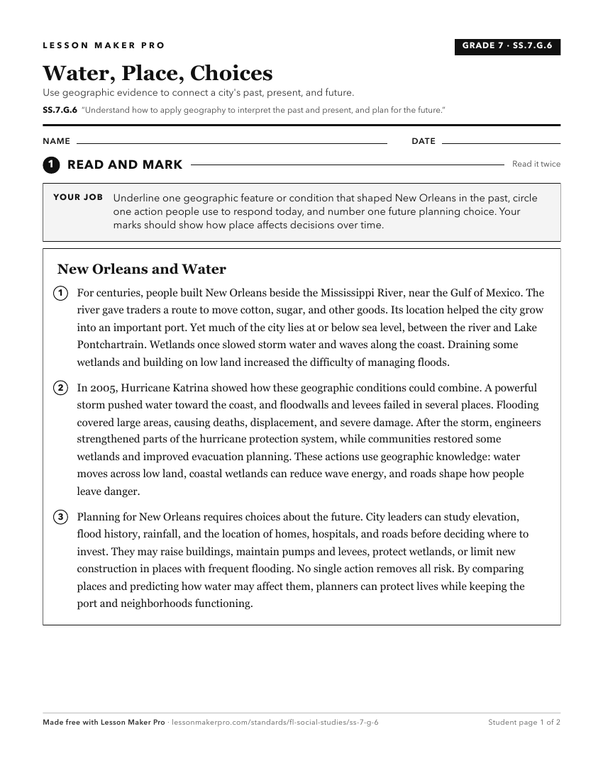
A ready-to-print activity worksheet aligned to SS.7.G.6, with an answer key for the teacher on its own page. No account needed.
PDF, US Letter, prints cleanly in black and white.
Download the worksheetKeep exploring
Related Standards
- SS.8.G.6
Understand how to apply geography to interpret the past and present and plan for the future.
- SS.6.G.6
Understand how to apply geography to interpret the past and present and plan for the future.
- SS.5.G.1.1
Interpret current and historical information using a variety of geographic tools.
- SS.6.G.1.4
Utilize tools geographers use to study the world.
Turn this cluster into a lesson
Grade, subject, topic, and the complete cluster are prefilled. Create one free, no account needed.
Also for this cluster:Make a WorksheetMake a QuizMake a Sub Lesson