Florida SS.8.G.6.2
The Standard
- SS.8.G.6
- Understand how to apply geography to interpret the past and present and plan for the future.
Illustrate places and events in U.S. history through the use of narratives and graphic representations.
Florida Next Generation Sunshine State Standards for Social Studies
Teacher's field guide
What This Standard Means
What Students Need to Do
- Students pair a short historical account with a map, timeline, diagram, or chart. They select details that show where an event happened, how it unfolded, and why the location mattered.
What Mastery Looks Like
- A student creates an accurate graphic with clear labels, dates, locations, and a key when needed. The written account refers to the graphic and explains important geographic or chronological details.
Common Misconceptions
- Students may add decorative images that do not provide historical information. They may omit labels, place events in the wrong location, or show events out of order. Some describe the event without explaining why its location mattered.
How to Assess It
- Give students a blank U.S. map and five facts about the Louisiana Purchase. Ask them to label the area and write three sentences explaining its geographic impact.
Lesson moves
Ways to Teach It
Place a large U.S. map on the floor, then have students position event cards and explain each placement.
Write a museum caption explaining how geography shaped one event shown on a provided map.
Play a matching game with historical narratives, maps, timelines, and charts that represent the same event.
Use a local map to mark a historic site, then write how its location affected nearby settlement or transportation.
Free download
Printable SS.8.G.6.2 Worksheet
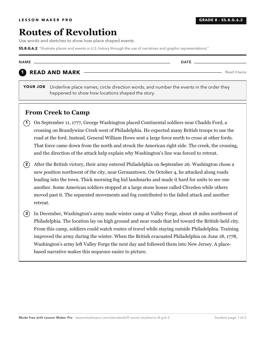
A ready-to-print activity worksheet aligned to SS.8.G.6.2, with an answer key for the teacher on its own page. No account needed.
PDF, US Letter, prints cleanly in black and white.
Download the worksheetKeep exploring
Related Standards
- SS.8.G.6.1
Use appropriate maps and other graphic representations to analyze geographic problems and changes over time throughout American history.
- SS.8.G.1.2
Use appropriate geographic tools and terms to identify and describe significant places, and regions in American history.
- SS.5.A.1.2
Utilize timelines to identify and discuss American History time periods.
- SS.8.G.1.1
Use maps to explain physical and cultural attributes of major regions throughout American history.
Turn this exact standard into a lesson
Grade, subject, topic, and the complete standard are prefilled. Create one free, no account needed.
Also for this standard:Make a WorksheetMake a QuizMake a Sub Lesson