Virginia SOL VS.1
SOL Standard (Skills Cluster)
The student will apply history and social science skills to explain the relationship between physical geography and the lives of Virginia’s peoples, past and present by locating Virginia and its bordering states on maps of the United States and North America; locating and describing the relative location and physical characteristics of Virginia's five geographic regions on a map; and locating, identifying, and describing the impact of Virginia’s bodies of water on its history, economy, and culture.
Virginia Standards of Learning for History and Social Science
Cluster contents
Skills in This Standard
VS.1 is a Standards of Learning history and social science standard. These are the skills expectations under it.
- VS.1.a
locating Virginia and its bordering states on maps of the United States and North America
- VS.1.b
locating and describing the relative location and physical characteristics of Virginia's five geographic regions on a map
- VS.1.c
locating, identifying, and describing the impact of Virginia’s bodies of water on its history, economy, and culture
Teacher's field guide
What This Cluster Means
What Students Need to Do
- Students locate Virginia within the United States and North America and identify its five bordering states. They locate and describe Virginia’s five geographic regions using landforms and relative position. They identify major bodies of water and explain how waterways shaped settlement, trade, jobs, and culture.
What Mastery Looks Like
- A student accurately labels Virginia, its bordering states, five geographic regions, and major bodies of water on a blank map. They describe each region with a correct landform or location clue. They connect waterways such as the Chesapeake Bay and James River to specific historical or economic uses.
Common Misconceptions
- Students may list Washington, D.C., as a bordering state or confuse West Virginia with western Virginia. They often reverse the Piedmont and Coastal Plain or treat the Blue Ridge Mountains as part of the Valley and Ridge. They may name waterways correctly without explaining their effects on settlement, transportation, fishing, or trade.
How to Assess It
- Give students a blank Virginia map and ask them to label two regions, two waterways, and two bordering states. Then ask them to explain one way a labeled waterway affected Virginia.
Lesson moves
Ways to Teach It
Build a salt-dough map of Virginia, shaping the five regions and marking major waterways with blue yarn.
Write three sentences explaining why early settlements and ports developed near the James River or Chesapeake Bay.
Play map bingo by calling location and landform clues while students cover matching regions, waterways, or bordering states.
Plan a modern shipping or tourism route through Virginia and explain how one waterway and one region affect the route.
Free download
Printable VS.1 Worksheet
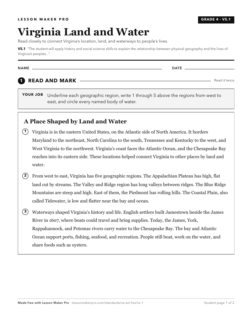
A ready-to-print activity worksheet aligned to VS.1, with an answer key for the teacher on its own page. No account needed.
PDF, US Letter, prints cleanly in black and white.
Download the worksheetKeep exploring
Related Standards
- VS.2
The student will apply history and social science skills to describe the Indigenous nations of Virginia past and present by
- 1.7
The student will apply history and social science skills to connect geography to historic events of Virginia and the United States by
- 1.4
The student will apply history and social science skills to understand Virginia’s history by
- VS.4
The student will apply history and social science skills to understand life in the Virginia colony by
Turn this cluster into a lesson
Grade, subject, topic, and the complete cluster are prefilled. Create one free, no account needed.
Also for this cluster:Make a WorksheetMake a QuizMake a Sub Lesson