Virginia SOL VS.1.b
The Standard
- VS.1
- The student will apply history and social science skills to explain the relationship between physical geography and the lives of Virginia’s peoples, past and present by
locating and describing the relative location and physical characteristics of Virginia's five geographic regions on a map
Virginia Standards of Learning for History and Social Science
Teacher's field guide
What This Standard Means
What Students Need to Do
- Students locate Virginia’s five geographic regions and place them in order from east to west. They describe each region’s landforms and position compared with neighboring regions.
What Mastery Looks Like
- Students correctly label Coastal Plain, Piedmont, Blue Ridge Mountains, Valley and Ridge, and Appalachian Plateau on an outline map. They match each region with features such as flat land, rolling hills, mountains, valleys, ridges, or plateau.
Common Misconceptions
- Students may place the Blue Ridge Mountains at Virginia’s western edge or confuse Piedmont hills with the mountains. They may also treat region boundaries like county lines or assume a plateau is always flat at ground level.
How to Assess It
- Give students a blank Virginia map. Ask them to label all five regions, number them east to west, and write one physical feature for each.
Lesson moves
Ways to Teach It
Build a raised Virginia map with clay, shaping flat land, rolling hills, mountains, valleys, ridges, and the western plateau.
Write three clues that describe one region’s location and landforms, then trade clues with a partner and identify the region.
Play a region relay where teams place name cards and physical feature cards correctly on a large floor map.
Plan a drive from Virginia Beach to Breaks Interstate Park, listing each region crossed and the landscape changes travelers would see.
Free download
Printable VS.1.b Worksheet
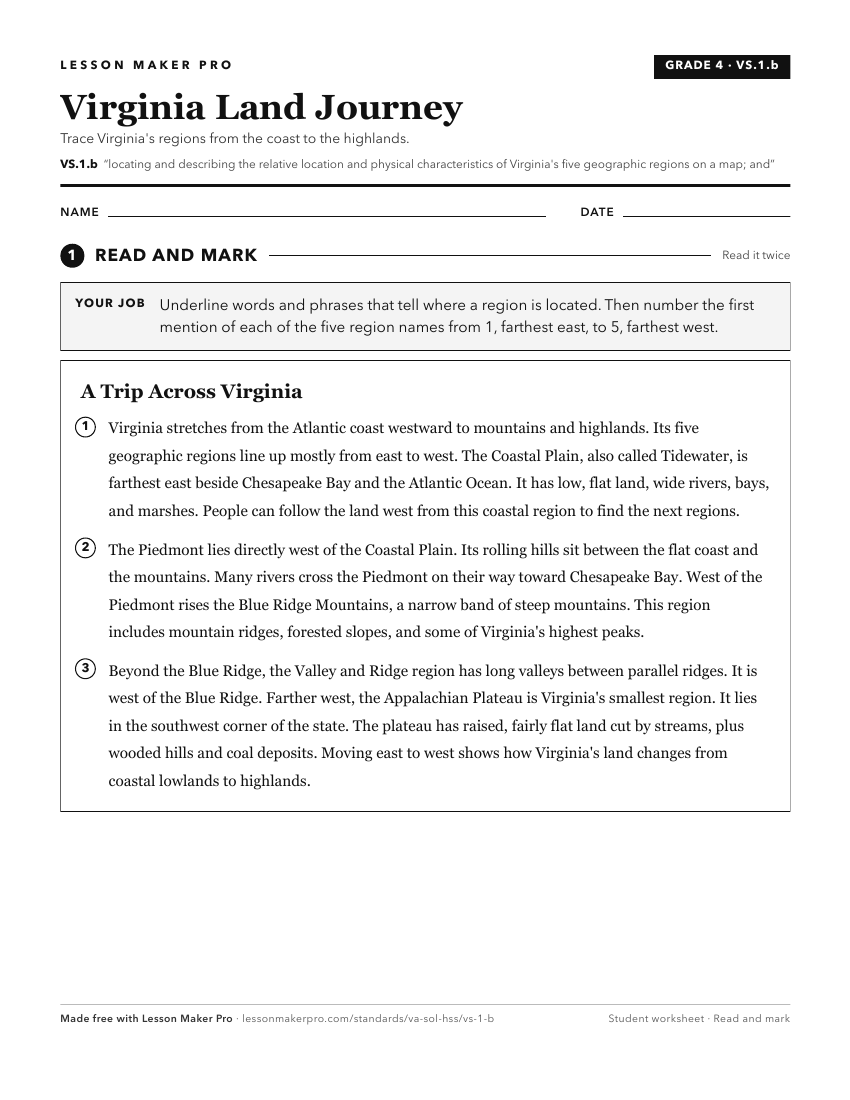
A ready-to-print activity worksheet aligned to VS.1.b, with an answer key for the teacher on its own page. No account needed.
PDF, US Letter, prints cleanly in black and white.
Download the worksheetKeep exploring
Related Standards
- 1.6.c
locating Virginia, the United States, continents, and oceans on maps and globes
- VS.1.a
locating Virginia and its bordering states on maps of the United States and North America
- 1.7.a
identifying landforms and bodies of water of Virginia and describing how they affect the way people live
- K.7.d
identifying the geographic location of the United States and Virginia on a map and globe
Turn this exact standard into a lesson
Grade, subject, topic, and the complete standard are prefilled. Create one free, no account needed.
Also for this standard:Make a WorksheetMake a QuizMake a Sub Lesson