Virginia SOL 1.7
SOL Standard (Skills Cluster)
The student will apply history and social science skills to connect geography to historic events of Virginia and the United States by identifying landforms and bodies of water of Virginia and describing how they affect the way people live; understanding that the location of Virginia determines its climate and its four distinct seasons; locating the site of the Jamestown colony; and locating Richmond and Washington, D.C. on Virginia and United States maps.
Virginia Standards of Learning for History and Social Science
Cluster contents
Skills in This Standard
1.7 is a Standards of Learning history and social science standard. These are the skills expectations under it.
- 1.7.a
identifying landforms and bodies of water of Virginia and describing how they affect the way people live
- 1.7.b
understanding that the location of Virginia determines its climate and its four distinct seasons
- 1.7.c
locating the site of the Jamestown colony
- 1.7.d
locating Richmond and Washington, D.C. on Virginia and United States maps.
Teacher's field guide
What This Cluster Means
What Students Need to Do
- Students read Virginia and United States maps to identify major landforms, bodies of water, and key places. They connect Virginia’s location with its climate and seasons, then explain how geography affects travel, work, homes, and food.
What Mastery Looks Like
- Students correctly label Jamestown, Richmond, and Washington, D.C., on simple maps. They identify a Virginia landform or body of water and give a clear example of how it shapes people’s lives.
Common Misconceptions
- Students may place Washington, D.C., inside Virginia or confuse Jamestown with Richmond. They may mix up weather and climate, or think rivers and mountains affect scenery but not settlement and travel.
How to Assess It
- Give students blank Virginia and United States maps with a word bank. Have them label Jamestown, Richmond, Washington, D.C., one landform, and one body of water, then explain one geography connection.
Lesson moves
Ways to Teach It
Build a clay Virginia map, adding mountains, rivers, the Chesapeake Bay, Jamestown, Richmond, and Washington, D.C., with labeled flags.
Ask students to write: “How might living near a river change where people build homes, travel, or find food?”
Play a map relay where students draw place cards and race to point to each location on state or national maps.
Compare monthly Richmond weather pictures, then have students sort clothing and activities into Virginia’s four seasons.
Free download
Printable 1.7 Worksheet
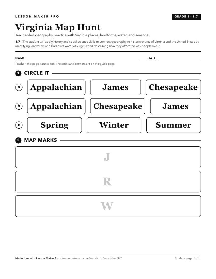
A ready-to-print activity worksheet aligned to 1.7, with an answer key for the teacher on its own page. No account needed.
PDF, US Letter, prints cleanly in black and white.
Download the worksheetKeep exploring
Related Standards
- 2.12
The student will apply history and social science skills to connect geography to landmarks and historic events including, but not limited to
- VS.1
The student will apply history and social science skills to explain the relationship between physical geography and the lives of Virginia’s peoples, past and pr...
- VS.9
The student will apply history and social science skills to understand the ways in which Virginia became interconnected and diverse by
- 1.4
The student will apply history and social science skills to understand Virginia’s history by
Turn this cluster into a lesson
Grade, subject, topic, and the complete cluster are prefilled. Create one free, no account needed.
Also for this cluster:Make a WorksheetMake a QuizMake a Sub Lesson