Virginia SOL 1.7.c
The Standard
- 1.7
- The student will apply history and social science skills to connect geography to historic events of Virginia and the United States by
locating the site of the Jamestown colony
Virginia Standards of Learning for History and Social Science
Teacher's field guide
What This Standard Means
What Students Need to Do
- Students use a simple map of Virginia to find and mark Jamestown. They connect the colony site with eastern Virginia and the James River.
What Mastery Looks Like
- A student correctly points to Jamestown on a Virginia map when several places are marked. The student describes it as in eastern Virginia, near the James River.
Common Misconceptions
- Students may confuse Jamestown with Plymouth or think Jamestown is the name of a state. Others point to the James River label instead of the nearby colony site.
How to Assess It
- Give students a Virginia map with three marked dots. Ask, “Which dot shows Jamestown, and what map clue helped you choose?”
Lesson moves
Ways to Teach It
Build a large Virginia floor map with yarn for the James River, then have students place a Jamestown card at the correct site.
Ask, “What map clues help you know where Jamestown belongs?” and have students answer with a labeled sketch.
Play a map relay where teams choose the correct Jamestown location from three marked dots and explain their choice.
Mark the school and Jamestown on a Virginia map, then trace a pretend class trip between the two places.
Free download
Printable 1.7.c Worksheet
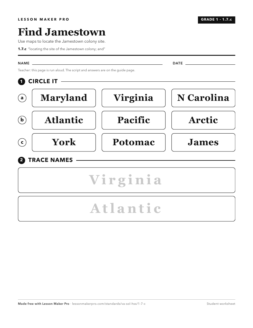
A ready-to-print activity worksheet aligned to 1.7.c, with an answer key for the teacher on its own page. No account needed.
PDF, US Letter, prints cleanly in black and white.
Download the worksheetKeep exploring
Related Standards
- VS.3.f
analyzing the impact of the arrival of Africans and women to the Jamestown settlement
- VS.4.e
explaining the reasons for the relocation of Virginia’s capital from Jamestown to Williamsburg
- 1.4.a
identifying and describing important events and locations throughout the early history of the Commonwealth including, but not limited to Werowocomoco and the fi...
- VS.3.b
describing the economic and geographic influences on the decision to settle at Jamestown
Turn this exact standard into a lesson
Grade, subject, topic, and the complete standard are prefilled. Create one free, no account needed.
Also for this standard:Make a WorksheetMake a QuizMake a Sub Lesson