NGSS 2-ESS2-2
The Standard
Develop a model to represent the shapes and kinds of land and bodies of water in an area.
Next Generation Science Standards
Teacher's field guide
What This Standard Means
What Students Need to Do
- Students make a map or physical model of an area that shows different landforms and bodies of water. They represent each feature's general shape and location without measuring to scale.
What Mastery Looks Like
- Students create a clear model that includes recognizable landforms and bodies of water. They use shapes, colors, labels, or a key to show where each feature is located.
Common Misconceptions
- Students may treat all water as oceans or draw every land area as flat. They may confuse a bird's-eye model with a side-view picture or think models must match actual size.
How to Assess It
- Give students a simple photo of an area with a hill, river, pond, and flat land. Ask them to sketch and label a bird's-eye model showing each feature.
Lesson moves
Ways to Teach It
Build a land and water model in a tray using clay for hills and valleys, then add blue paper for rivers, lakes, and oceans.
Show an aerial photo and ask, “What land and water features do you see, and how could you represent each in a model?”
Play Land or Water Sort by having students place picture cards under labels such as hill, plain, river, lake, and ocean.
Use a local park map to identify nearby land and water features, then have students redraw the area with simple symbols and labels.
Free download
Printable 2-ESS2-2 Worksheet
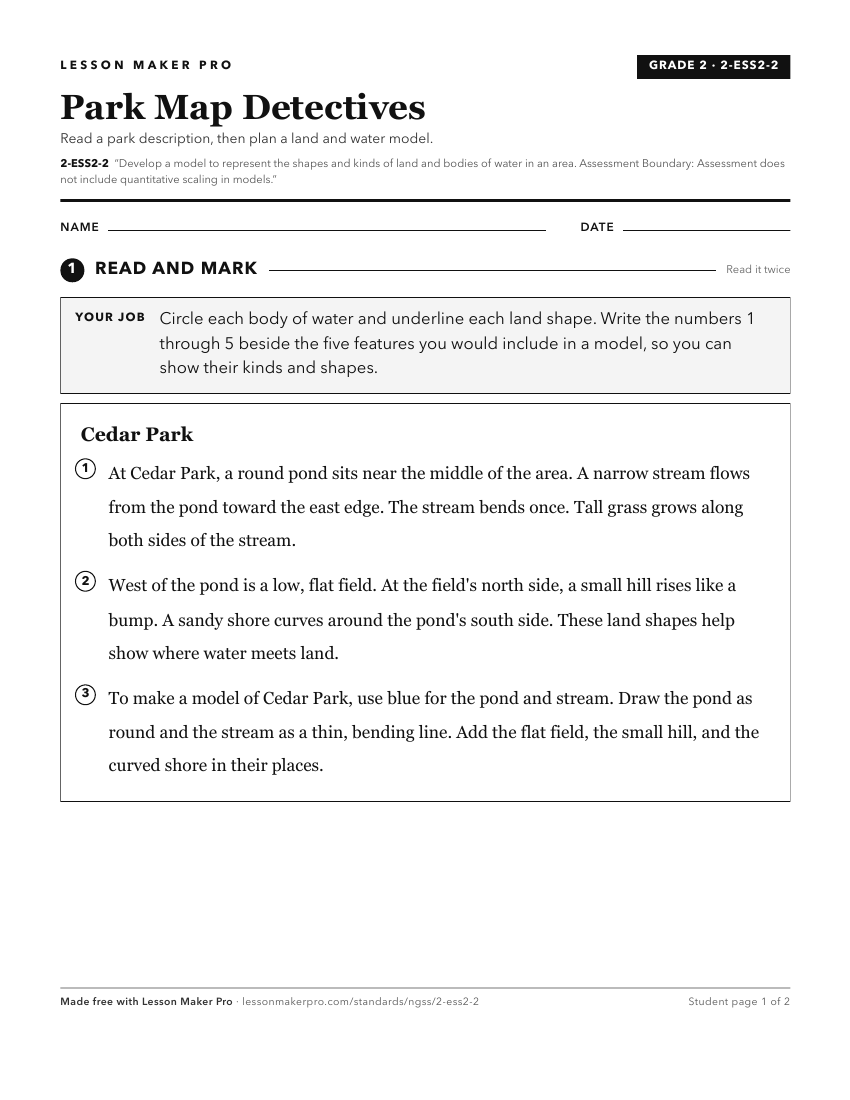
A ready-to-print activity worksheet aligned to 2-ESS2-2, with an answer key for the teacher on its own page. No account needed.
PDF, US Letter, prints cleanly in black and white.
Download the worksheetKeep exploring
Related Standards
- HS-ESS2-1
Develop a model to illustrate how Earth's internal and surface processes operate at different spatial and temporal scales to form continental and ocean-floor fe...
- K-2-ETS1-2
Develop a simple sketch, drawing, or physical model to illustrate how the shape of an object helps it function as needed to solve a given problem.
- 4-PS4-1
Develop a model of waves to describe patterns in terms of amplitude and wavelength and that waves can cause objects to move.
- 5-ESS2-1
Develop a model using an example to describe ways the geosphere, biosphere, hydrosphere, and/or atmosphere interact.
Turn this exact standard into a lesson
Grade, subject, topic, and the complete standard are prefilled. Create one free, no account needed.
Also for this standard:Make a WorksheetMake a QuizMake a Sub Lesson