Mississippi Science E.3.9
Standard Cluster
Students will demonstrate an understanding of how the Earth’s systems (i.e., geosphere, hydrosphere, atmosphere, and biosphere) interact in multiple ways to affect Earth's surface materials and processes. Develop models to communicate the characteristics of the Earth's major systems, including the geosphere, hydrosphere, atmosphere, and biosphere (e.g., digital models, illustrations, flip books, diagrams, charts, tables). Construct explanations of how different landforms and surface features result from the location and movement of water on Earth’s surface (e.g., watersheds, drainage basins, deltas, or rivers). Use graphical representations to communicate the distribution of freshwater and saltwater on Earth (e.g., oceans, lakes, rivers, glaciers, groundwater, or polar ice caps).
2026 Mississippi College- and Career-Readiness Standards for Science · Earth’s Systems and Cycles
Cluster contents
Standards in This Cluster
E.3.9 is a cluster heading. These are the individual standards under it.
- E.3.9.1
Develop models to communicate the characteristics of the Earth's major systems, including the geosphere, hydrosphere, atmosphere, and biosphere (e.g., digital m...
- E.3.9.2
Construct explanations of how different landforms and surface features result from the location and movement of water on Earth’s surface (e.g., watersheds, drai...
- E.3.9.3
Use graphical representations to communicate the distribution of freshwater and saltwater on Earth (e.g., oceans, lakes, rivers, glaciers, groundwater, or polar...
Teacher's field guide
What This Cluster Means
What Students Need to Do
- Students make a labeled model of land, water, air, and living things. They use it to show how moving water changes land. They also make a graph showing how much of Earth's water is saltwater and freshwater.
What Mastery Looks Like
- A student can draw rain washing soil into a river and sand settling where the river slows down. They can label the parts of that drawing and use a graph to show that oceans hold most of Earth's water.
Common Misconceptions
- Students may think rivers carry soil but never drop it. Some think lakes hold more water than oceans. Others show land, water, air, and living things in a model but leave out how they affect one another.
How to Assess It
- Show a picture of a tree beside a muddy river under clouds. Ask students to label land, water, air, and the tree, then draw one arrow showing how the river changes the land.
Lesson moves
Ways to Teach It
Pour water through a tray of sand, then have students sketch the channel it cuts and the sand it leaves behind.
Show a photo of rain falling on a hillside and ask: How could the rain affect the soil and plants?
Sort ocean, lake, glacier, and groundwater cards into saltwater or freshwater, then color 97 of 100 grid squares for saltwater.
Sketch the school roof and storm drain, then draw where rainwater flows and circle soil it might carry away.
Free download
Printable E.3.9 Worksheet
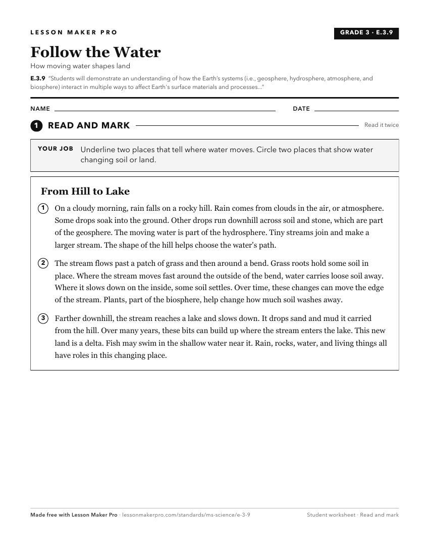
A ready-to-print activity worksheet aligned to E.3.9, with an answer key for the teacher on its own page. No account needed.
PDF, US Letter, prints cleanly in black and white.
Download the worksheetKeep exploring
Related Standards
- L.2.3A
Students will demonstrate an understanding of the interdependence of living things and the environment in which they live.
- E.4.9C
Students will demonstrate an understanding of how natural processes and human activities affect the features of Earth's landforms and oceans.
- ESS.3
Students will develop an understanding of Earth’s systems and cycles.
- E.3.7B
Students will demonstrate an understanding of the composition of Earth and the processes which change Earth's landforms.
Turn this cluster into a lesson
Grade, subject, topic, and the complete cluster are prefilled. Create one free, no account needed.
Also for this cluster:Make a WorksheetMake a QuizMake a Sub Lesson