Mississippi Science E.3.9.2
The Standard
- E.3.9
- Students will demonstrate an understanding of how the Earth’s systems (i.e., geosphere, hydrosphere, atmosphere, and biosphere) interact in multiple ways to affect Earth's surface materials and processes.
Construct explanations of how different landforms and surface features result from the location and movement of water on Earth’s surface (e.g., watersheds, drainage basins, deltas, or rivers).
2026 Mississippi College- and Career-Readiness Standards for Science · Earth’s Systems and Cycles
Teacher's field guide
What This Standard Means
What Students Need to Do
- Students trace how rainwater flows downhill and joins streams. They explain how moving water cuts channels and carries sediment, and how sediment builds up where a river slows.
What Mastery Looks Like
- Given a map with hills and a river, a student draws arrows showing which way water flows and where streams join. They explain why a channel forms along the water’s path and why sediment collects at a river mouth.
Common Misconceptions
- Students may think water can flow uphill or across a ridge. They may think a river does not change the land, or that a delta is carved out rather than built from sediment.
How to Assess It
- Give students a sketch of hills, a stream, and a lake. Ask them to draw water-flow arrows, mark where a channel could form and where sediment could collect, then explain each mark.
Lesson moves
Ways to Teach It
Shape a ridge and channel in damp sand, pour water from a cup, and sketch where channels form and sand collects.
Show a delta photo and ask students to write why sand collects where the river meets a lake.
Give pairs ridge, stream, and delta cards to place on a river sketch, then have them trace water paths with arrows.
Use a map of the school grounds to trace rainwater from a high spot to a drain or ditch.
Free download
Printable E.3.9.2 Worksheet
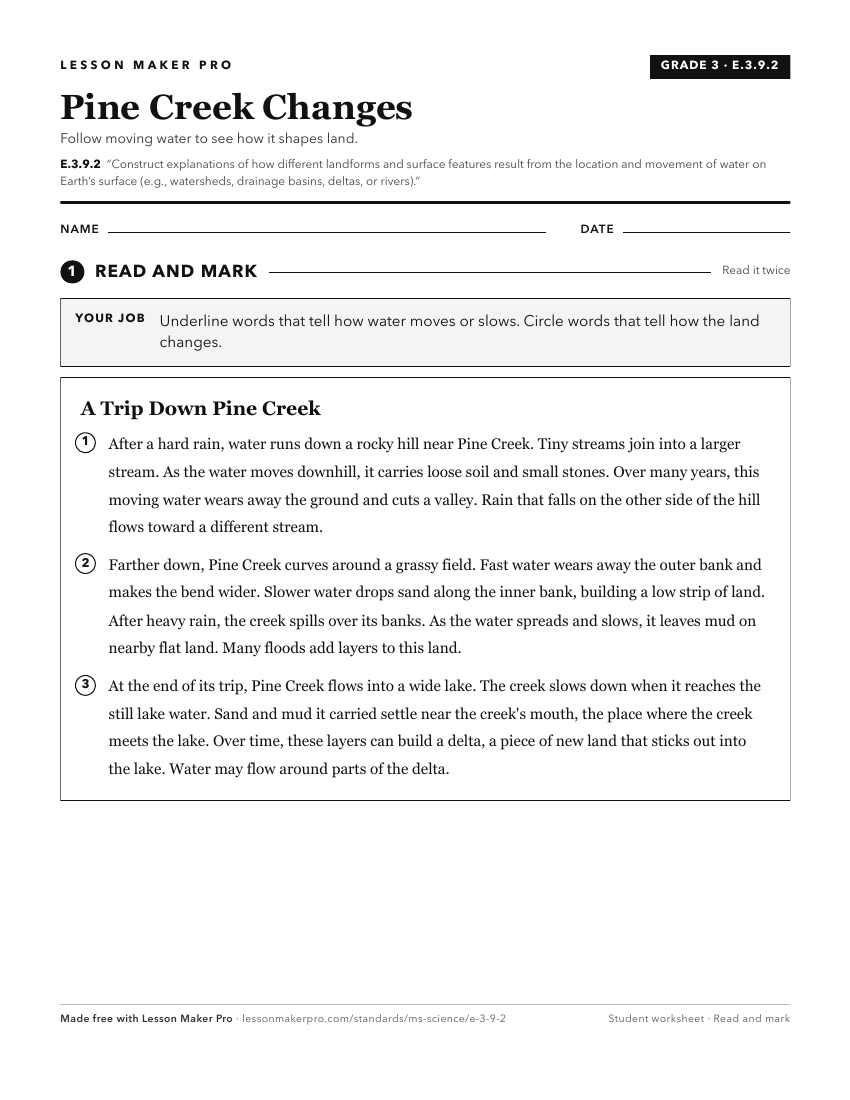
A ready-to-print activity worksheet aligned to E.3.9.2, with an answer key for the teacher on its own page. No account needed.
PDF, US Letter, prints cleanly in black and white.
Download the worksheetKeep exploring
Related Standards
- E.4.9C.2
Develop and use models of natural processes to explain the effect of the movement of water on the ocean shore zone, including beaches, barrier islands, estuarie...
- E.1.9B.3
With teacher guidance, plan and conduct a structured investigation to determine how the movement of water can change the shape of the land on earth.
- E.7.9A.4
Construct an explanation for how climate is determined in an area using global and surface features (e.g. latitude, elevation, shape of the land, distance from ...
- MAQ.3.1
Use geospatial data to analyze, explain, and communicate differences among the major geological features of specific aquatic ecosystems (e.g., plate tectonics, ...
Turn this exact standard into a lesson
Grade, subject, topic, and the complete standard are prefilled. Create one free, no account needed.
Also for this standard:Make a WorksheetMake a QuizMake a Sub Lesson