Georgia SS1G3
Georgia Standard (Element Cluster)
Locate major topographical features of the earth's surface.
Georgia Standards of Excellence for Social Studies
Cluster contents
Elements in This Standard
SS1G3 is a Georgia social studies standard. These are the elements under it.
Teacher's field guide
What This Cluster Means
What Students Need to Do
- Students locate and name the seven continents and five oceans on a world map or globe. They identify mountains, deserts, valleys, plains, plateaus, and coasts from pictures or models.
What Mastery Looks Like
- Students point to named continents and oceans without relying on labels. They identify common landforms and describe each using simple clues about shape, height, water, or flatness.
Common Misconceptions
- Students may confuse continents with countries or think oceans are separate lakes. They may mix up plains and plateaus, or call every raised landform a mountain.
How to Assess It
- Give each student an unlabeled world map and three landform pictures. Ask them to mark one named continent, mark one named ocean, and identify each landform.
Lesson moves
Ways to Teach It
Build a world map with blue paper and continent cutouts, then place yarn labels for the five oceans.
Show photos of six landforms, then ask students to write or tell one identifying clue for each.
Call out a continent or ocean while students race to cover it with a token on laminated world maps.
Plan a pretend trip from Georgia to Australia, naming the starting continent, destination continent, and one ocean crossed.
Free download
Printable SS1G3 Worksheet
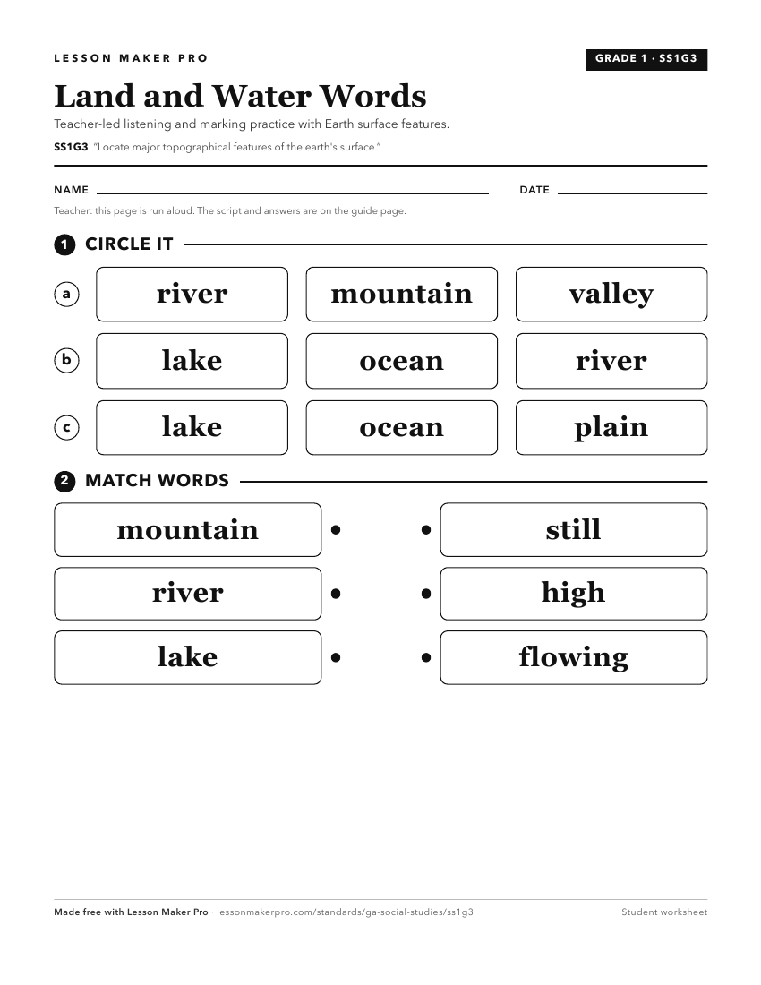
A ready-to-print activity worksheet aligned to SS1G3, with an answer key for the teacher on its own page. No account needed.
PDF, US Letter, prints cleanly in black and white.
Download the worksheetKeep exploring
Related Standards
Turn this cluster into a lesson
Grade, subject, topic, and the complete cluster are prefilled. Create one free, no account needed.
Also for this cluster:Make a WorksheetMake a QuizMake a Sub Lesson