Georgia SS1G3.c
The Standard
- SS1G3
- Locate major topographical features of the earth's surface.
Identify and describe landforms (mountains, deserts, valleys, and coasts).
Georgia Standards of Excellence for Social Studies · Locate major topographical features of the earth's surface.
Teacher's field guide
What This Standard Means
What Students Need to Do
- Students name mountains, deserts, valleys, and coasts from photos, maps, and simple models. They describe each feature using visible traits and compare it with other landforms.
What Mastery Looks Like
- Students correctly label an unfamiliar landform picture and give one accurate clue. They can explain, for example, that a valley is low land between higher areas.
Common Misconceptions
- Students may think all deserts are hot and sandy, or that every coast is a beach. They may confuse valleys with rivers and describe mountains as any raised land.
How to Assess It
- Show four unlabeled landform photos. Have students name each feature and write or say one detail that supports each answer.
Lesson moves
Ways to Teach It
Build mountains, a valley, a desert, and a coast in a tray using clay, sand, and blue paper.
Display two landform photos and ask, “What details help you tell these places apart?”
Play landform clue bingo using picture cards and clues such as “low land between mountains.”
Use a world map to locate one real mountain, desert, valley, and coast, then add labeled sticky notes.
Free download
Printable SS1G3.c Worksheet
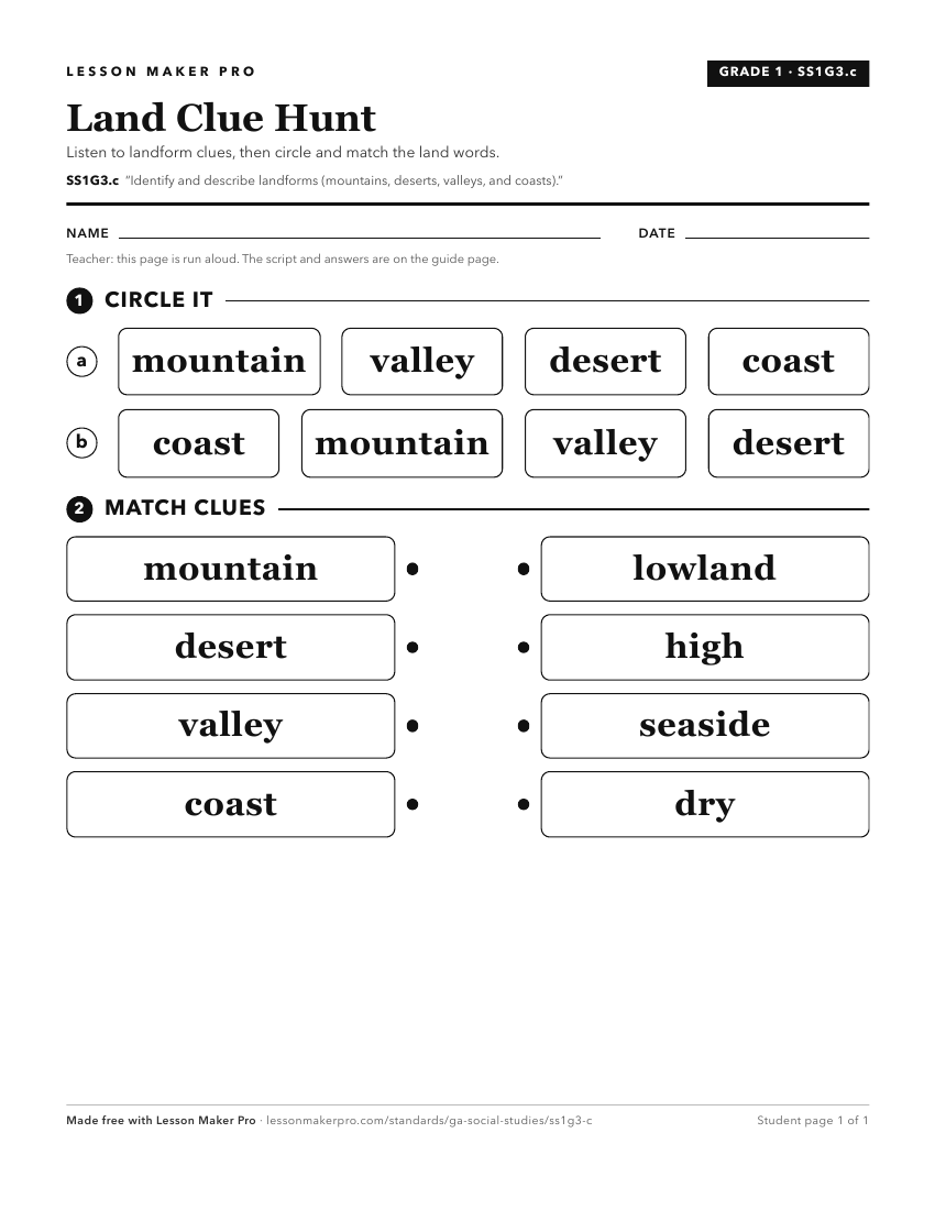
A ready-to-print activity worksheet aligned to SS1G3.c, with an answer key for the teacher on its own page. No account needed.
PDF, US Letter, prints cleanly in black and white.
Download the worksheetKeep exploring
Related Standards
- SS1G3
Locate major topographical features of the earth's surface.
- SSKG2.a
Differentiate land and water features on simple maps and globes.
- SS4G1
Locate important physical and man-made features in the United States.
- SS4G1.a
Locate major physical features of the United States: the Atlantic Coastal Plain, the Great Plains, the Continental Divide, the Gulf of Mexico, the Mississippi R...
Turn this exact standard into a lesson
Grade, subject, topic, and the complete standard are prefilled. Create one free, no account needed.
Also for this standard:Make a WorksheetMake a QuizMake a Sub Lesson