Georgia SSKG2.a
The Standard
- SSKG2
- Explain that a map is a drawing of a place and a globe is a model of Earth.
Differentiate land and water features on simple maps and globes.
Georgia Standards of Excellence for Social Studies · Explain that a map is a drawing of a place and a globe is a model of Earth.
Teacher's field guide
What This Standard Means
What Students Need to Do
- Students point to land and water on simple maps and globes. They use colors, shapes, and labels to explain how they know which is which.
What Mastery Looks Like
- A student correctly identifies several land and water areas on an unfamiliar map or globe. The student explains that blue usually shows water and other colors often show land.
Common Misconceptions
- Students may think every blue object is water or that all land must be green. They may also confuse the globe itself with Earth rather than a small model of it.
How to Assess It
- Show a simple map with four marked locations. Ask students to circle two water locations and place an X on two land locations.
Lesson moves
Ways to Teach It
Give students blue and green clay to cover water and land areas on a simple paper map.
Display a map and ask, “How can you tell where people could stand and where boats could travel?”
Play Land or Water by showing map cards while students hold up an L or W card.
Use a local park map to find ponds, streams, fields, and other nearby land and water areas.
Free download
Printable SSKG2.a Worksheet
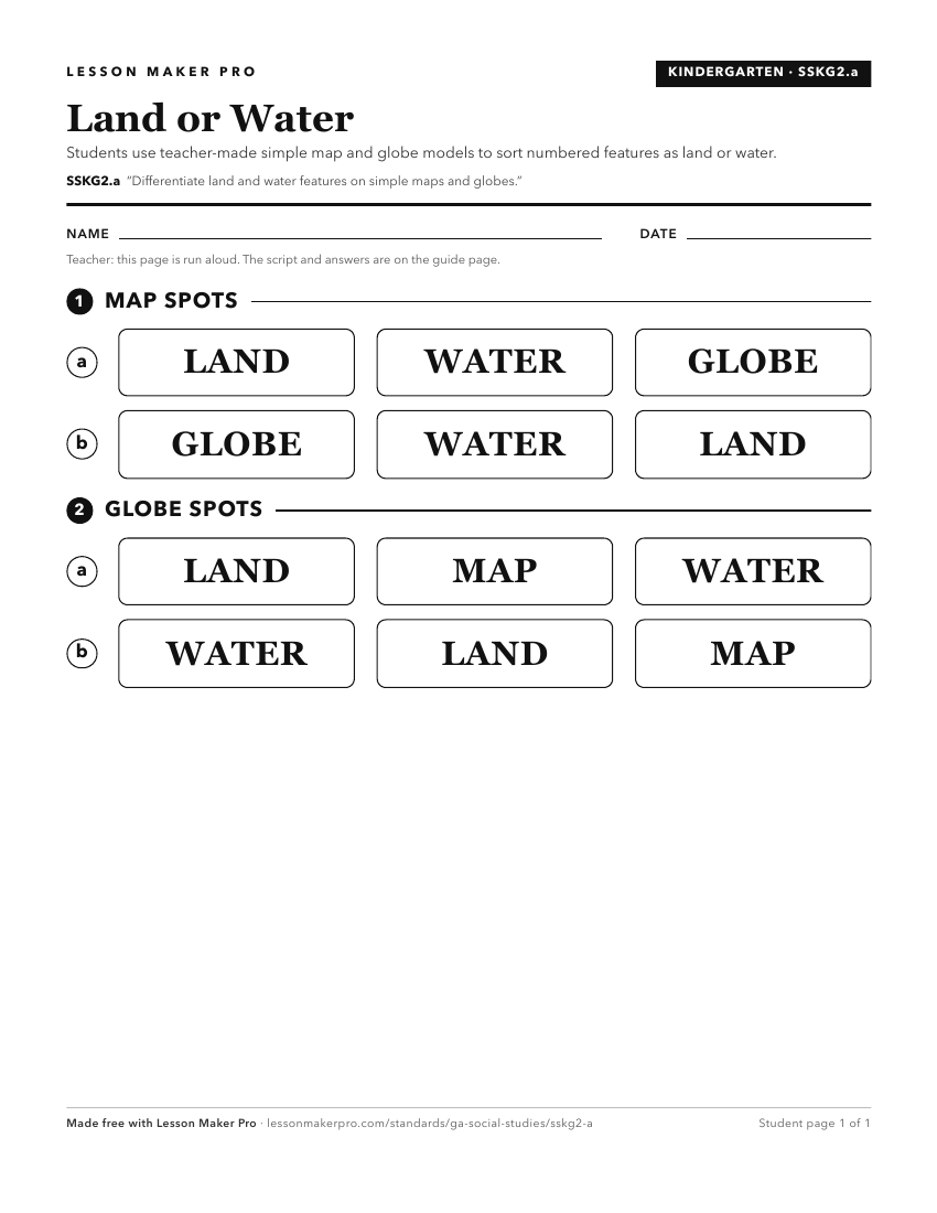
A ready-to-print activity worksheet aligned to SSKG2.a, with an answer key for the teacher on its own page. No account needed.
PDF, US Letter, prints cleanly in black and white.
Download the worksheetKeep exploring
Related Standards
Turn this exact standard into a lesson
Grade, subject, topic, and the complete standard are prefilled. Create one free, no account needed.
Also for this standard:Make a WorksheetMake a QuizMake a Sub Lesson