Georgia SSKG2.c
The Standard
- SSKG2
- Explain that a map is a drawing of a place and a globe is a model of Earth.
Explain that maps and globes show features in a smaller size.
Georgia Standards of Excellence for Social Studies · Explain that a map is a drawing of a place and a globe is a model of Earth.
Teacher's field guide
What This Standard Means
What Students Need to Do
- Students recognize that a map uses small drawings to represent a much larger place. They explain that a globe is small enough to represent the whole Earth.
What Mastery Looks Like
- A student can compare a real place or feature with its smaller map image. The student can explain why Earth fits on a globe.
Common Misconceptions
- Students may think map pictures show the real size of places. They may think a globe is Earth itself or that a small symbol means the real feature is small.
How to Assess It
- Draw the classroom and add the door and two tables in smaller form. Tell why they must look smaller in your drawing.
Lesson moves
Ways to Teach It
Build a tabletop classroom map with paper shapes, then compare each small shape with the real desk, door, or rug.
Discuss the prompt, “How can our whole playground fit on one sheet of paper?”
Play Match the Size by pairing cards of real places and objects with their smaller map or globe versions.
Use a zoo map to find the lion habitat, then compare its map symbol with a photograph of the full-size habitat.
Free download
Printable SSKG2.c Worksheet
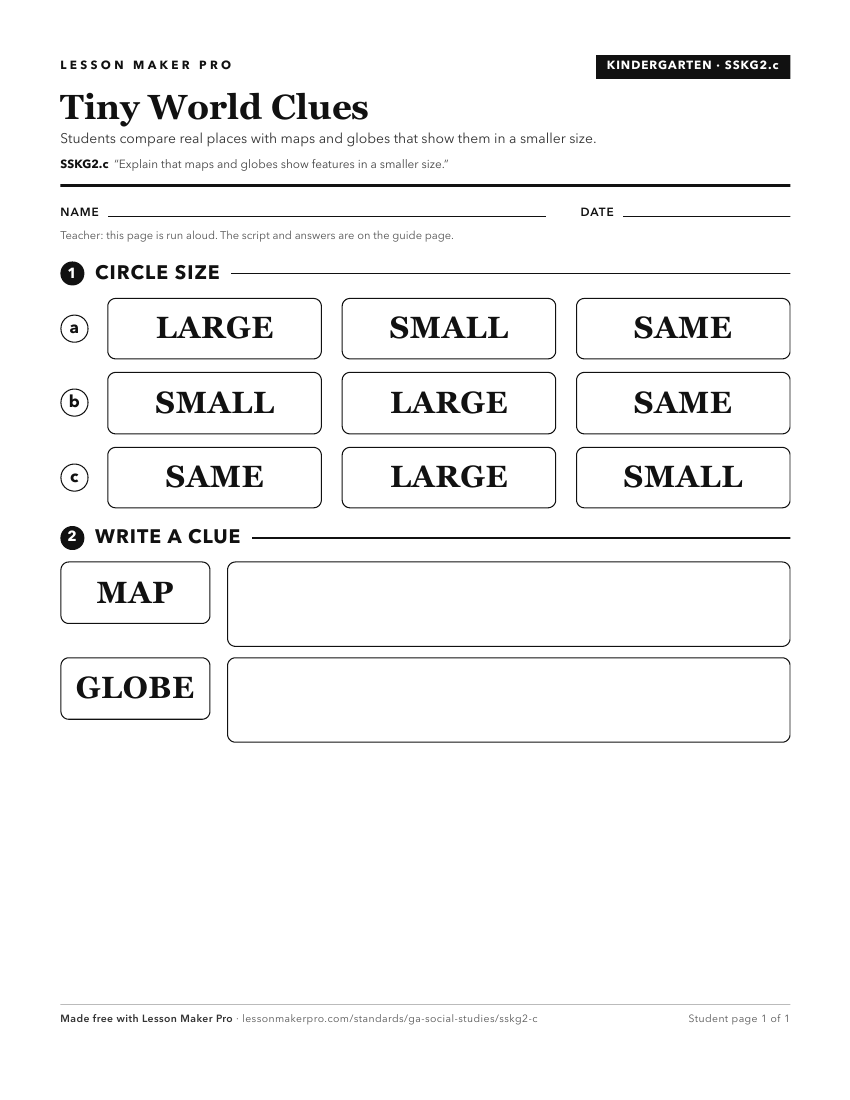
A ready-to-print activity worksheet aligned to SSKG2.c, with an answer key for the teacher on its own page. No account needed.
PDF, US Letter, prints cleanly in black and white.
Download the worksheetKeep exploring
Related Standards
Turn this exact standard into a lesson
Grade, subject, topic, and the complete standard are prefilled. Create one free, no account needed.
Also for this standard:Make a WorksheetMake a QuizMake a Sub Lesson