Georgia SSKG2.b
The Standard
- SSKG2
- Explain that a map is a drawing of a place and a globe is a model of Earth.
Explain that maps and globes show a view from above
Georgia Standards of Excellence for Social Studies · Explain that a map is a drawing of a place and a globe is a model of Earth.
Teacher's field guide
What This Standard Means
What Students Need to Do
- Students explain that maps and globes show places as if someone were looking down from above. They connect familiar objects and locations to their overhead shapes.
What Mastery Looks Like
- Students identify an overhead view and explain how they know. They can make a simple top-down drawing that shows where objects are located.
Common Misconceptions
- Students may draw the fronts or sides of objects instead of their tops. They may think a map shows objects exactly as they look from the ground.
How to Assess It
- Give students overhead and side-view pictures of the same toy town. Ask, "Circle the view used on maps and globes. How do you know?"
Lesson moves
Ways to Teach It
Arrange blocks and toy furniture as a classroom, view it from above, then draw a map showing each object's location.
Display side and overhead photos of a playground, then ask students to describe what looks different in each view.
Play Map View Match by pairing overhead drawings of a cup, chair, book, and table with the actual classroom objects.
Use the school evacuation map to find the classroom, hallway, and nearest exit as shown from above.
Free download
Printable SSKG2.b Worksheet
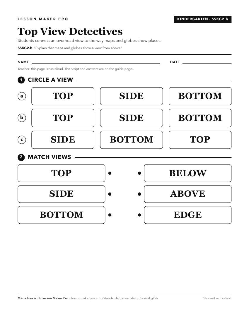
A ready-to-print activity worksheet aligned to SSKG2.b, with an answer key for the teacher on its own page. No account needed.
PDF, US Letter, prints cleanly in black and white.
Download the worksheetKeep exploring
Related Standards
Turn this exact standard into a lesson
Grade, subject, topic, and the complete standard are prefilled. Create one free, no account needed.
Also for this standard:Make a WorksheetMake a QuizMake a Sub Lesson