Georgia SS1G3.a
The Standard
- SS1G3
- Locate major topographical features of the earth's surface.
Locate all of the continents: North America, South America, Africa, Europe, Asia, Antarctica, and Australia.
Georgia Standards of Excellence for Social Studies · Locate major topographical features of the earth's surface.
Teacher's field guide
What This Standard Means
What Students Need to Do
- Students identify and point to each of the seven continents on a globe and a world map. They connect continent names with their shapes and locations.
What Mastery Looks Like
- A student correctly labels North America, South America, Africa, Europe, Asia, Antarctica, and Australia on an unlabeled map. The student can also find each one on a globe.
Common Misconceptions
- Students may confuse continents with countries or oceans. They may mix up North America and South America, or mistake Australia and Antarctica because both appear near the bottom of many maps.
How to Assess It
- Give students an unlabeled world map and the seven continent names on a word bank. Ask them to write each name in the correct place.
Lesson moves
Ways to Teach It
Have pairs assemble a cut-apart world map puzzle, then place continent name cards on the completed map.
Show a world map and ask, "Which continent would you like to visit, and how can you find it on the map?"
Play Continent Point, calling out a continent while students race to point to it on individual desk maps.
Check clothing tags or food packages for country names, then help students find each country’s continent on a classroom map.
Free download
Printable SS1G3.a Worksheet
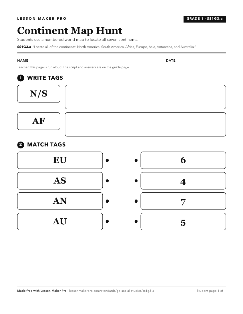
A ready-to-print activity worksheet aligned to SS1G3.a, with an answer key for the teacher on its own page. No account needed.
PDF, US Letter, prints cleanly in black and white.
Download the worksheetKeep exploring
Related Standards
- SS1G3.b
Locate the major oceans: Arctic, Atlantic, Pacific, Southern, and Indian Ocean.
- SS4G1.a
Locate major physical features of the United States: the Atlantic Coastal Plain, the Great Plains, the Continental Divide, the Gulf of Mexico, the Mississippi R...
- SS3H1.a
Locate the regions where American Indians settled in North America: Arctic, Northwest Southwest, Plains, Northeast, and Southeast.
- SS1G2
Identify and locate the student's city, county, state, nation (country), and continent on a simple map or a globe.
Turn this exact standard into a lesson
Grade, subject, topic, and the complete standard are prefilled. Create one free, no account needed.
Also for this standard:Make a WorksheetMake a QuizMake a Sub Lesson