Georgia SS1G2
The Standard
Identify and locate the student's city, county, state, nation (country), and continent on a simple map or a globe.
Georgia Standards of Excellence for Social Studies
Teacher's field guide
What This Standard Means
What Students Need to Do
- Students use a local map, a United States map, and a globe to find where they live. They connect each place to the larger area around it.
What Mastery Looks Like
- A student can point to and name their city, county, state, country, and continent. They can put those five places in order from smallest to largest.
Common Misconceptions
- Students may confuse a city with a county or think a state is a country. They may also identify North America as the country or the United States as the continent.
How to Assess It
- Give each student a local map, a United States map, and a globe. Ask them to point to and name all five places, then order the names from smallest to largest.
Lesson moves
Ways to Teach It
Build a set of nesting paper circles labeled with the local city, county, state, country, and continent.
Ask students to complete and explain the sentence, “I live in ___, which is inside ___.”
Play a card sorting race where pairs arrange place cards from smallest area to largest area.
Use a weather map to find the local city and state, then locate the same area on a globe.
Free download
Printable SS1G2 Worksheet
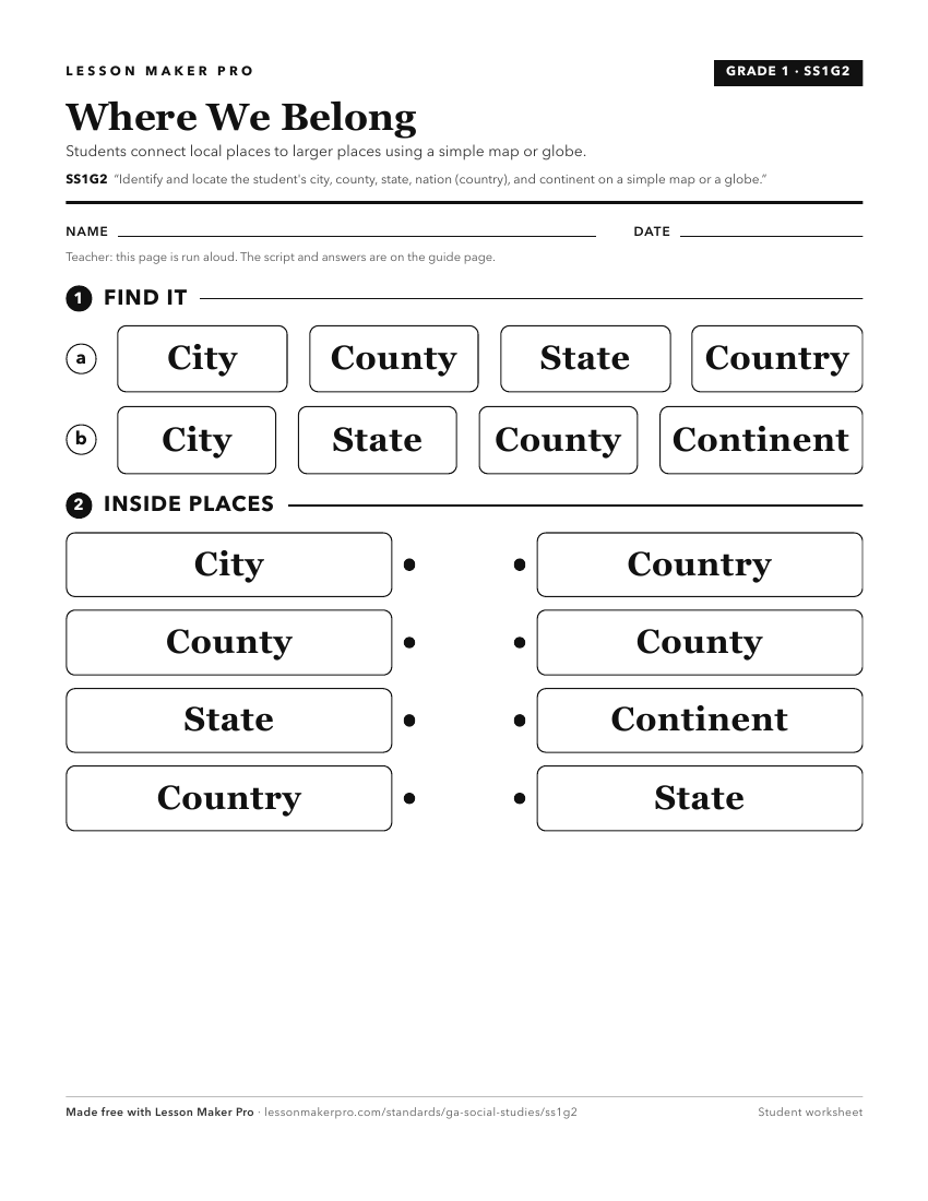
A ready-to-print activity worksheet aligned to SS1G2, with an answer key for the teacher on its own page. No account needed.
PDF, US Letter, prints cleanly in black and white.
Download the worksheetKeep exploring
Related Standards
- SSKG2.a
Differentiate land and water features on simple maps and globes.
- SS8G1.a
Locate Georgia in relation to region, nation, continent, and hemispheres.
- SS3G2
Locate and describe the equator, prime meridian, and lines of latitude and longitude on a globe.
- SSKG3
State the street address, city, state, and country in which the student lives.
Turn this exact standard into a lesson
Grade, subject, topic, and the complete standard are prefilled. Create one free, no account needed.
Also for this standard:Make a WorksheetMake a QuizMake a Sub Lesson