Florida SS.6.G.4
Florida Standard (Benchmark Cluster)
Understand the characteristics, distribution, and migration of human populations.
Florida Next Generation Sunshine State Standards for Social Studies
Cluster contents
Benchmarks in This Standard
SS.6.G.4 is a Florida social studies standard. These are the benchmarks under it.
- SS.6.G.4.1
Explain how family and ethnic relationships influenced ancient cultures.
- SS.6.G.4.2
Use maps to trace significant migrations and analyze their results.
- SS.6.G.4.3
Locate sites in Africa and Asia where archaeologists have found evidence of early human societies and trace their migration patterns to other parts of the world...
- SS.6.G.4.4
Map and analyze the impact of the spread of various belief systems in the ancient world.
Teacher's field guide
What This Cluster Means
What Students Need to Do
- Students read maps, graphs, and tables to describe where people live and compare traits such as age, language, and culture. They explain migration using push factors, pull factors, and geographic conditions.
What Mastery Looks Like
- Students can identify dense and sparse population areas from a map and support their claims with evidence. They can trace a migration route and explain why people left one place and chose another.
Common Misconceptions
- Students may confuse population density with total population. They may think migration only means moving between countries or that all migration is permanent. They may name one cause while ignoring the mix of economic, political, social, and environmental factors.
How to Assess It
- On an exit ticket, show a map with a river, city, desert, and migration arrow. Ask students to identify one population pattern and explain one push or pull factor.
Lesson moves
Ways to Teach It
Give pairs a blank world map and 30 counters, then have them model dense and sparse populations near rivers, coasts, deserts, and mountains.
Ask students to write: Why might a family leave one place and choose another, and which push and pull factors shape the decision?
Run a card sort where teams classify migration scenarios as push factors, pull factors, voluntary migration, or forced migration.
Use a county population map to identify local settlement patterns, then connect those patterns to roads, jobs, water, and housing.
Free download
Printable SS.6.G.4 Worksheet
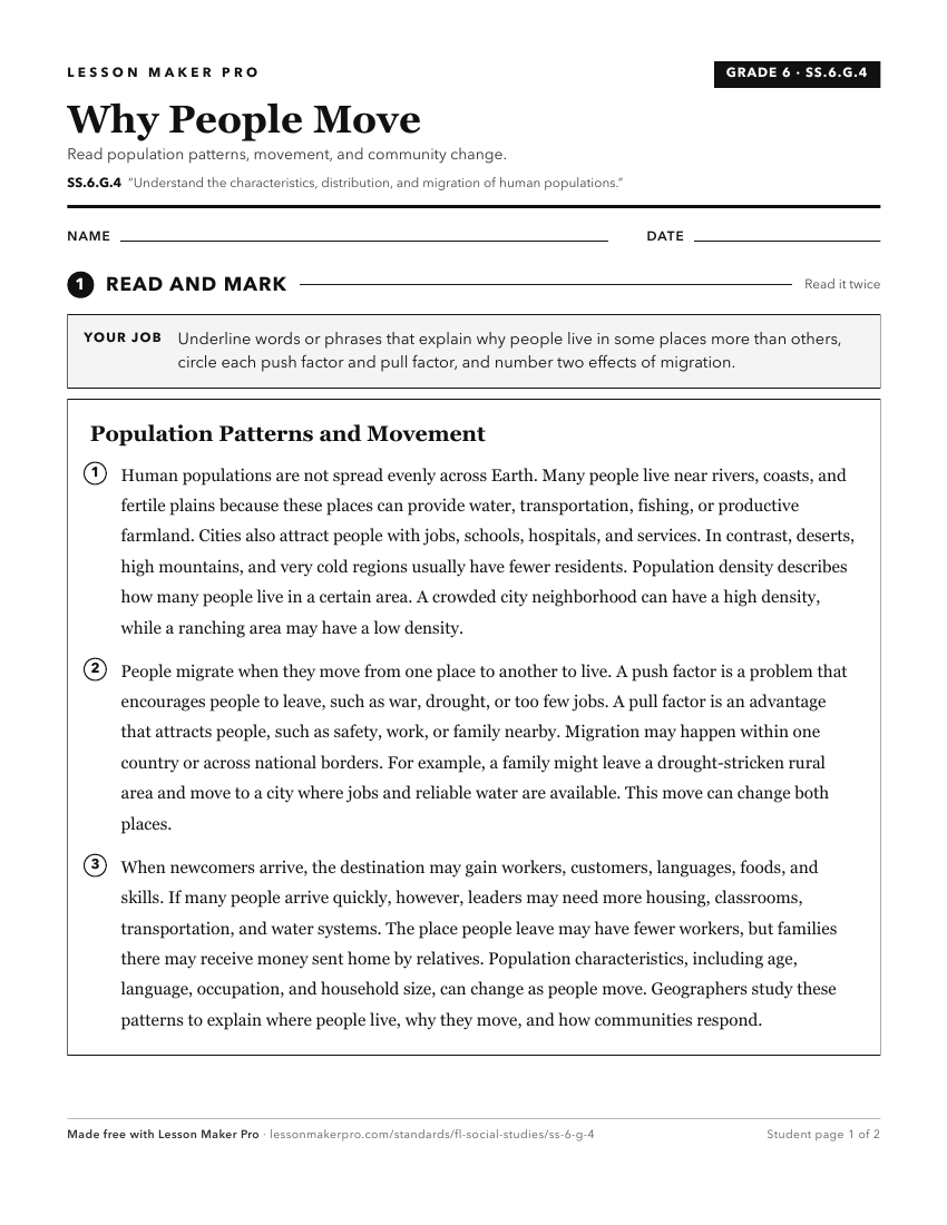
A ready-to-print activity worksheet aligned to SS.6.G.4, with an answer key for the teacher on its own page. No account needed.
PDF, US Letter, prints cleanly in black and white.
Download the worksheetKeep exploring
Related Standards
Turn this cluster into a lesson
Grade, subject, topic, and the complete cluster are prefilled. Create one free, no account needed.
Also for this cluster:Make a WorksheetMake a QuizMake a Sub Lesson