Florida SS.6.G.4.2
The Standard
- SS.6.G.4
- Understand the characteristics, distribution, and migration of human populations.
Use maps to trace significant migrations and analyze their results.
Florida Next Generation Sunshine State Standards for Social Studies
Teacher's field guide
What This Standard Means
What Students Need to Do
- Students track where a group started, the route it took, and where it settled. They use map evidence to explain causes and effects of the movement.
What Mastery Looks Like
- Students accurately read map titles, legends, dates, symbols, and arrows. They identify a migration route and explain effects on both the origin and destination.
Common Misconceptions
- Students may confuse migration with trade, travel, or military conquest. They may think arrows show exact routes, assume all movement was voluntary, or discuss effects only at the destination.
How to Assess It
- Give students a map of Bantu migrations. Ask them to name the origin, identify one destination, and explain one result using map evidence.
Lesson moves
Ways to Teach It
Give pairs a blank map, yarn, and location cards, then have them build a migration route and label one cause and two effects.
Ask students to write: How can migration change both the group that moves and the people already living at the destination?
Play a map relay where teams identify the origin, destination, route, and one result on four historical migration maps.
Compare a modern refugee movement map with an ancient migration map, then list one shared cause and one different effect.
Free download
Printable SS.6.G.4.2 Worksheet
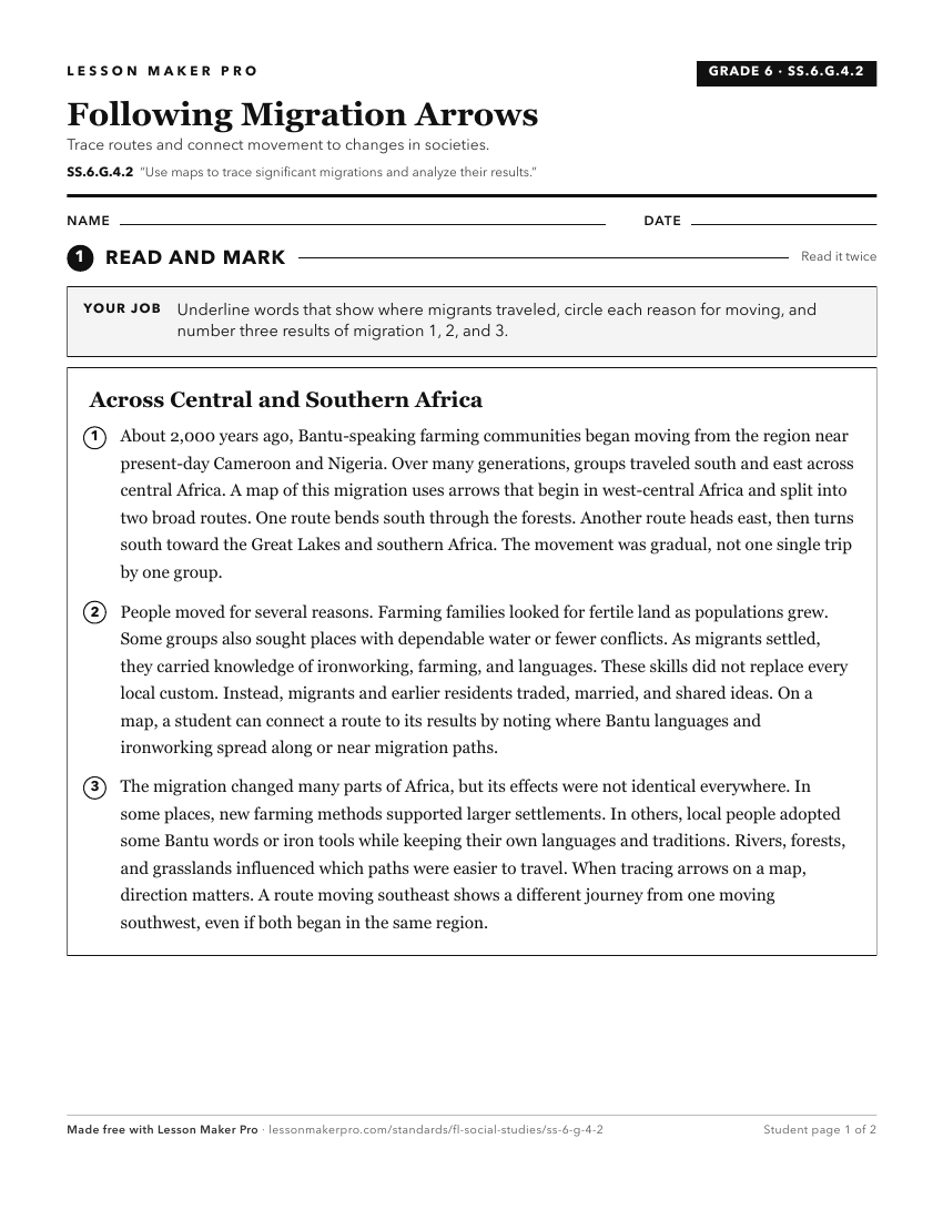
A ready-to-print activity worksheet aligned to SS.6.G.4.2, with an answer key for the teacher on its own page. No account needed.
PDF, US Letter, prints cleanly in black and white.
Download the worksheetKeep exploring
Related Standards
- SS.8.G.4.2
Use geographic terms and tools to analyze the effects throughout American history of migration to and within the United States, both on the place of origin and ...
- SS.8.G.4.4
Interpret databases, case studies and maps to describe the role that regions play in influencing trade, migration patterns, and cultural or political interactio...
- SS.7.G.4.2
Use maps and other geographic tools to examine the importance of demographics within political divisions of the United States.
- SS.8.G.1.1
Use maps to explain physical and cultural attributes of major regions throughout American history.
Turn this exact standard into a lesson
Grade, subject, topic, and the complete standard are prefilled. Create one free, no account needed.
Also for this standard:Make a WorksheetMake a QuizMake a Sub Lesson