Alabama Social Studies SS24.7.1
Standard Cluster
Describe the world in spatial terms, using maps and other geographic representations, tools, and geospatial technologies. 1a Explain and demonstrate the use of map essentials, including direction, distance, legend, latitude, longitude, map type, projection, scale, and symbols. 1b Use physical, political, and special-purpose maps to identify the distribution of people, location of places, and classification of physical features. 1c Utilize maps to explain relationships among people and places, including governmental alliances, immigration patterns, and trade patterns. 1d Describe how geographic features and political entities are organized and labeled, including continents, countries, and oceans.
2024 Alabama Course of Study: Social Studies
Cluster contents
Standards in This Cluster
SS24.7.1 is a cluster heading. These are the individual standards under it.
- SS24.7.1a
Explain and demonstrate the use of map essentials, including direction, distance, legend, latitude, longitude, map type, projection, scale, and symbols.
- SS24.7.1b
Use physical, political, and special-purpose maps to identify the distribution of people, location of places, and classification of physical features.
- SS24.7.1c
Utilize maps to explain relationships among people and places, including governmental alliances, immigration patterns, and trade patterns.
- SS24.7.1d
Describe how geographic features and political entities are organized and labeled, including continents, countries, and oceans.
Teacher's field guide
What This Cluster Means
What Students Need to Do
- Students use a compass rose, legend, scale, and coordinates to locate places and measure distance. They compare physical, political, and special-purpose maps to describe landforms, population patterns, migration, trade, and alliances. They identify continents, countries, and oceans and notice how flat maps distort size and shape.
What Mastery Looks Like
- A student uses coordinates to locate a country and a map scale to estimate distance. They use evidence from two maps to explain where people live or how countries are connected. They can identify a map projection that makes a place look larger than it does on a globe.
Common Misconceptions
- Students often swap latitude and longitude or ignore the scale's units. They may mistake a country border for a physical feature or read a map symbol as a literal object. They may assume a country that looks large on a flat map is equally large on a globe.
How to Assess It
- Give students physical and population maps of the same region, with a marked city. Ask: "Find the city's coordinates, estimate its distance from the coast, name a nearby landform, and use both maps to explain why people may live there."
Lesson moves
Ways to Teach It
Tape a grid to the floor; students place continent, ocean, and country cards using coordinate clues and a compass rose.
Show a globe and a Mercator map; ask, "Why does Greenland look bigger on one, and how might that mislead a reader?"
Give pairs physical, political, and population maps; call out coordinates, symbols, and distances for them to find and explain.
Use a banana label and an online map; mark its origin country and sketch a possible trade route to your town.
Free download
Printable SS24.7.1 Worksheet
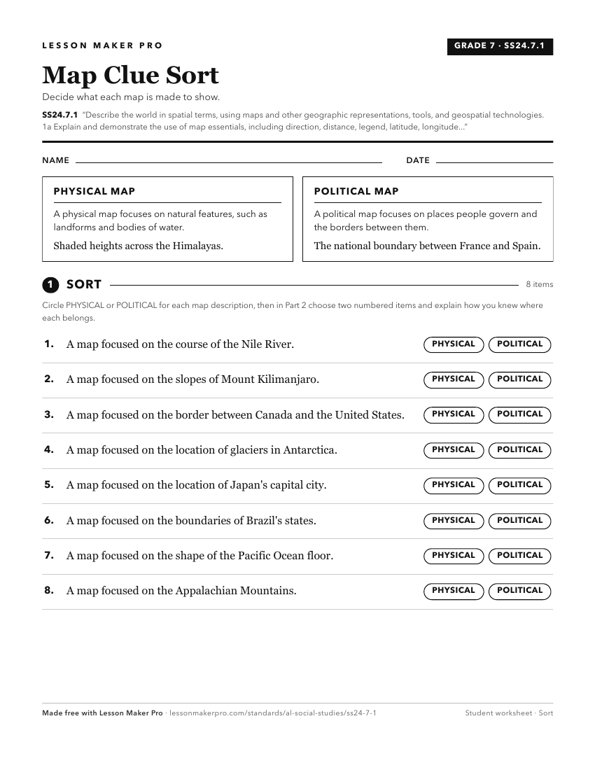
A ready-to-print activity worksheet aligned to SS24.7.1, with an answer key for the teacher on its own page. No account needed.
PDF, US Letter, prints cleanly in black and white.
Download the worksheetKeep exploring
Related Standards
- SS24.K.8
Identify landforms and bodies of water on maps, globes, and satellite and digital images.
- SS24.1.9
Differentiate among landforms, bodies of water, and other physical features on maps, globes, and satellite and digital images.
- SS24.3.1
Locate map features, using geographic terminology to describe them.
Turn this cluster into a lesson
Grade, subject, topic, and the complete cluster are prefilled. Create one free, no account needed.
Also for this cluster:Make a WorksheetMake a QuizMake a Sub Lesson