Alabama Social Studies SS24.7.1c
The Standard
- SS24.7.1
- Describe the world in spatial terms, using maps and other geographic representations, tools, and geospatial technologies.
Utilize maps to explain relationships among people and places, including governmental alliances, immigration patterns, and trade patterns.
2024 Alabama Course of Study: Social Studies
Teacher's field guide
What This Standard Means
What Students Need to Do
- Students use map keys, arrows, and labels to trace alliances, migration, and trade between places. They explain how two places are connected using details from the map.
What Mastery Looks Like
- A student can identify countries in the same alliance, trace where people move, and follow a trade route. They point to map evidence and do not claim the map proves why a connection exists.
Common Misconceptions
- Students may read an arrow as showing movement in both directions or miss that its width shows how many people or goods move. They may assume neighboring countries are allies or that two patterns on a map have the same cause.
How to Assess It
- Give students a map with an alliance key, migration arrows, and trade routes. Ask them to name two ways a pair of countries is connected and cite a map symbol for each.
Lesson moves
Ways to Teach It
Give pairs alliance, migration, and trade maps of Europe with tracing paper; have them trace connections and mark countries appearing on multiple maps.
Ask, "Does sharing a border mean two countries are allies?" Have students defend an answer using a political map and an alliance map.
Show three map snippets with legends; teams race to label each alliance, migration, or trade and point to the symbol that tells them.
Show a food package with a country-of-origin label; students locate that country and draw a plausible route to the United States on a map.
Free download
Printable SS24.7.1c Worksheet
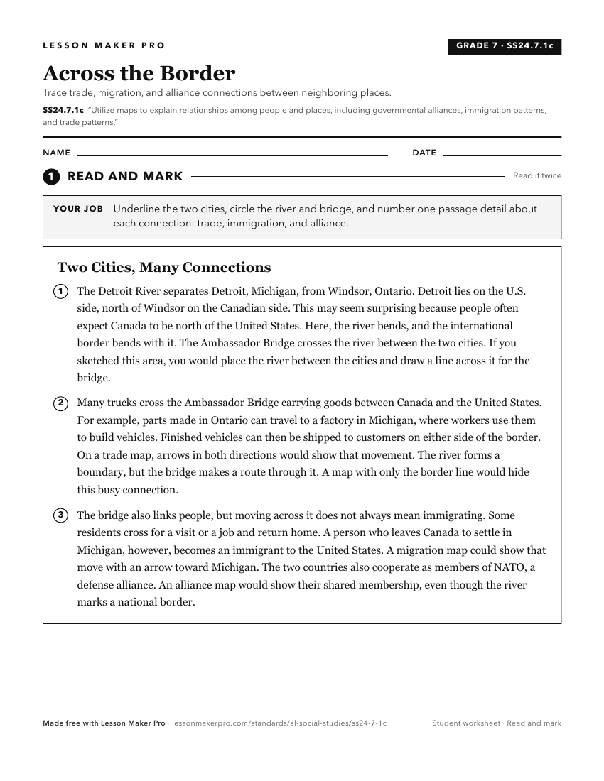
A ready-to-print activity worksheet aligned to SS24.7.1c, with an answer key for the teacher on its own page. No account needed.
PDF, US Letter, prints cleanly in black and white.
Download the worksheetKeep exploring
Related Standards
- SS24.2.8
Differentiate between the features of a physical map and a political map, and explain how these features contribute to the map’s purpose.
- SS24.HG.3
Research spatial patterns of world populations to discern population distribution and explain reasons for these patterns.
- SS24.7.1b
Use physical, political, and special-purpose maps to identify the distribution of people, location of places, and classification of physical features.
- SS24.K.7
Explain the purpose and use of maps.
Turn this exact standard into a lesson
Grade, subject, topic, and the complete standard are prefilled. Create one free, no account needed.
Also for this standard:Make a WorksheetMake a QuizMake a Sub Lesson