Alabama Social Studies SS24.2.8
The Standard
Differentiate between the features of a physical map and a political map, and explain how these features contribute to the map’s purpose.
2024 Alabama Course of Study: Social Studies
Teacher's field guide
What This Standard Means
What Students Need to Do
- Students find landforms and bodies of water on a physical map. They find borders, cities, and capitals on a political map. They explain how those details help someone use each map.
What Mastery Looks Like
- Given two maps of the same area, a student can name each type and point to clues. They choose the physical map to find a mountain and the political map to find a capital, then explain why.
Common Misconceptions
- Students may think political maps show elections or politicians. They may mistake a state border for a river or assume physical maps never show cities.
How to Assess It
- Give students an unlabeled physical map and political map of Alabama. Ask them to name each, point to one clue, and say which they would use to find a river or the state capital.
Lesson moves
Ways to Teach It
Give pairs printed Alabama maps to circle rivers and mountains on the physical map and trace borders and mark Montgomery on the political map.
Ask, “Which map would you use to plan a mountain hike, and which would you use to find a state capital? Why?”
Set out cards labeled river, mountain, city, capital, and state border; students race to place each under physical or political map.
Plan a beach trip with two Alabama maps: use the physical map to find the coast and the political map to find towns.
Free download
Printable SS24.2.8 Worksheet
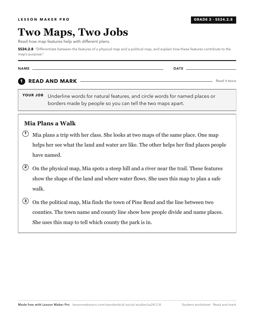
A ready-to-print activity worksheet aligned to SS24.2.8, with an answer key for the teacher on its own page. No account needed.
PDF, US Letter, prints cleanly in black and white.
Download the worksheetKeep exploring
Related Standards
- SS24.1.9
Differentiate among landforms, bodies of water, and other physical features on maps, globes, and satellite and digital images.
- SS24.1.8
Describe the features of political and physical maps.
- SS24.7.1b
Use physical, political, and special-purpose maps to identify the distribution of people, location of places, and classification of physical features.
- SS24.K.7
Explain the purpose and use of maps.
Turn this exact standard into a lesson
Grade, subject, topic, and the complete standard are prefilled. Create one free, no account needed.
Also for this standard:Make a WorksheetMake a QuizMake a Sub Lesson