Alabama Social Studies SS24.7.1b
The Standard
- SS24.7.1
- Describe the world in spatial terms, using maps and other geographic representations, tools, and geospatial technologies.
Use physical, political, and special-purpose maps to identify the distribution of people, location of places, and classification of physical features.
2024 Alabama Course of Study: Social Studies
Teacher's field guide
What This Standard Means
What Students Need to Do
- Students choose the right map by reading its title and key. They locate places, find where people are concentrated, and tell mountains, rivers, and plains apart.
What Mastery Looks Like
- Given physical, political, and population-density maps of the United States, a student can locate Denver, identify the Rockies and the Mississippi River, and point to a densely populated area. They can name the map and key they used for each answer.
Common Misconceptions
- Students may mistake state borders for natural features or expect a political map to show mountains. They may think darker population shading always means more people in total, rather than more people per square mile.
How to Assess It
- Give students three U.S. maps: physical, political, and population density. Ask them to locate Denver, mark a dense area, label one mountain range and one river, and name the map used for each.
Lesson moves
Ways to Teach It
Pairs use physical, political, and population-density maps to mark Denver, the Rockies, the Mississippi River, and a dense region on a blank U.S. map.
Ask: Which map would you use to find a state border, a river, or a crowded region? Give a clue from each key.
Play map match: show three U.S. map snippets; teams hold up physical, political, or population cards and name a clue.
Compare a city bus route map with a population-density map; choose a neighborhood for a new stop and point to the evidence.
Free download
Printable SS24.7.1b Worksheet
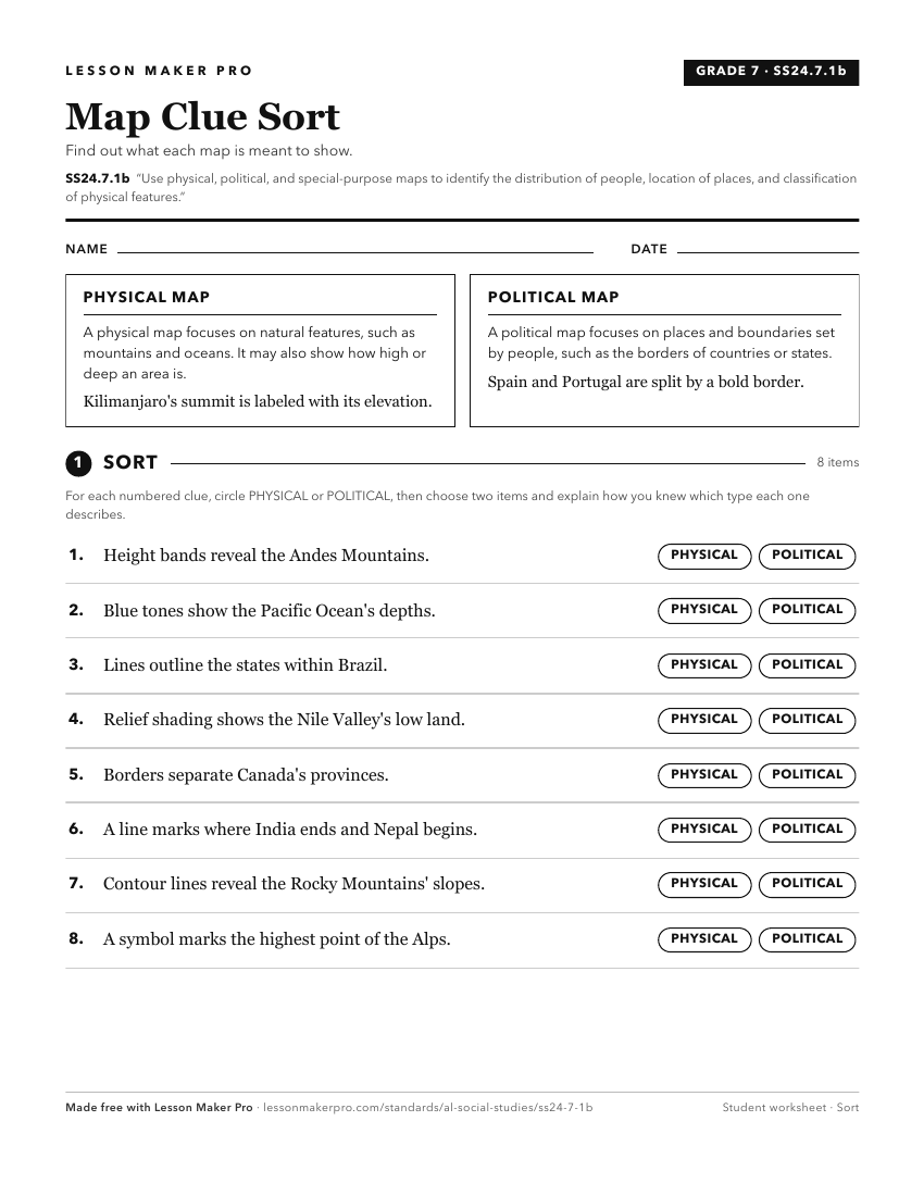
A ready-to-print activity worksheet aligned to SS24.7.1b, with an answer key for the teacher on its own page. No account needed.
PDF, US Letter, prints cleanly in black and white.
Download the worksheetKeep exploring
Related Standards
- SS24.2.8
Differentiate between the features of a physical map and a political map, and explain how these features contribute to the map’s purpose.
- SS24.1.9
Differentiate among landforms, bodies of water, and other physical features on maps, globes, and satellite and digital images.
- SS24.7.1c
Utilize maps to explain relationships among people and places, including governmental alliances, immigration patterns, and trade patterns.
- SS24.1.8
Describe the features of political and physical maps.
Turn this exact standard into a lesson
Grade, subject, topic, and the complete standard are prefilled. Create one free, no account needed.
Also for this standard:Make a WorksheetMake a QuizMake a Sub Lesson