Alabama Science ESS.6
Standard Cluster
Obtain, evaluate, and communicate information about the theory of plate tectonics. a. Construct an evidence-based explanation of continental drift, basing conclusions on comparisons of coastlines, fossils, ages of rocks, climate, and magnetic patterns. b. Construct an explanation, based on evidence, of tectonic plate movement, types of plate boundaries, and how boundary type relates to specific tectonic features, including mountain ranges, earthquakes, volcanism, volcanic islands, hotspots, mid-ocean ridges, and faults. c. Develop and interpret a model of Earth’s internal structure and composition, including inner core, outer core, asthenosphere, lithosphere, mantle, and crust. d. Analyze data to interpret seismic activity and assess the risk of volcanic eruptions and earthquakes in Alabama and other areas in the United States.
2023 Alabama Course of Study: Science · Earth’s Systems
Cluster contents
Standards in This Cluster
ESS.6 is a cluster heading. These are the individual standards under it.
- ESS.6.a
Construct an evidence-based explanation of continental drift, basing conclusions on comparisons of coastlines, fossils, ages of rocks, climate, and magnetic pat...
- ESS.6.b
Construct an explanation, based on evidence, of tectonic plate movement, types of plate boundaries, and how boundary type relates to specific tectonic features,...
- ESS.6.c
Develop and interpret a model of Earth’s internal structure and composition, including inner core, outer core, asthenosphere, lithosphere, mantle, and crust.
- ESS.6.d
Analyze data to interpret seismic activity and assess the risk of volcanic eruptions and earthquakes in Alabama and other areas in the United States.
Teacher's field guide
What This Cluster Means
What Students Need to Do
- Students compare coastlines, fossils, rock ages, ancient climate clues, and magnetic stripes to explain how plates have moved. They model Earth’s layers, including the lithosphere and asthenosphere. They use maps and seismic data to connect plate movement with landforms and hazards.
What Mastery Looks Like
- A student uses several clues, not just matching coastlines, to explain continental drift. They label Earth’s layers and connect each boundary type to likely features, while recognizing that hotspots can occur away from boundaries. They use data to compare earthquake and eruption risk in Alabama and other states.
Common Misconceptions
- Students may think matching coastlines alone prove continental drift or that magnetic stripes show only today’s magnetic field. They may place the asthenosphere below the entire mantle or call the outer core solid. Some assume every volcano sits on a plate boundary and that Alabama has no earthquake risk.
How to Assess It
- Give students a map with Atlantic magnetic stripes, recent U.S. earthquakes, and active volcanoes. Ask them to explain spreading at the ridge and compare earthquake and eruption risk in Alabama and Alaska.
Lesson moves
Ways to Teach It
Use clay and a sealed water bag to model crust, mantle, asthenosphere, lithosphere, solid inner core, and liquid outer core.
Ask students: Which better supports continental drift, matching coastlines or matching fossils, rock ages, and ancient climates? Defend your choice.
Hand out boundary and landform cards; teams match ridges, mountain ranges, faults, and volcanic islands, then set hotspots aside and explain why.
Project USGS earthquake and volcano maps; students compare Alabama, California, and Alaska, then write one supported hazard claim for each state.
Free download
Printable ESS.6 Worksheet
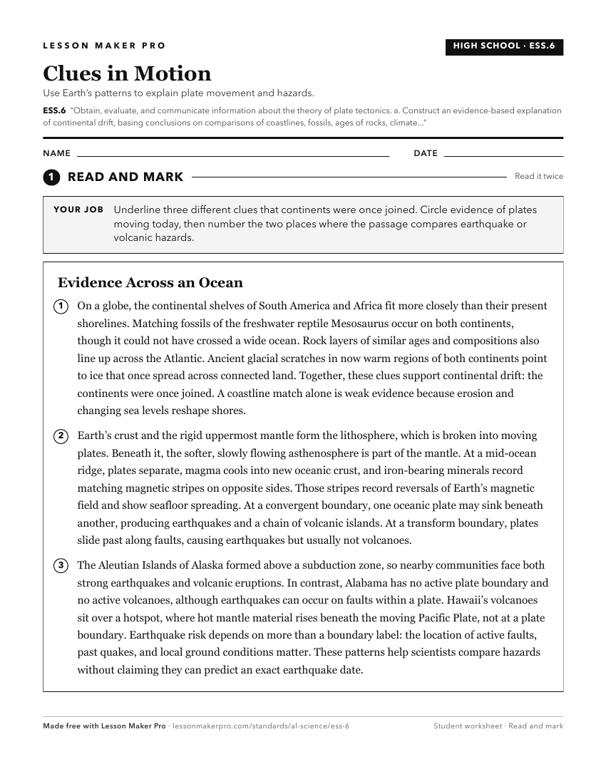
A ready-to-print activity worksheet aligned to ESS.6, with an answer key for the teacher on its own page. No account needed.
PDF, US Letter, prints cleanly in black and white.
Download the worksheetKeep exploring
Related Standards
- ESS.4
Obtain, evaluate, and communicate information about the geologic conditions and processes that form different Earth materials.
- ESS.5
Obtain, evaluate, and communicate information about major events in Earth’s history.
- 6.5
Obtain, evaluate, and communicate evidence that explains how constructive and destructive processes shape Earth’s surface.
- 6.6
Construct an evidence-based explanation of how tectonic plate movement impacts Earth’s surface over geological time.
Turn this cluster into a lesson
Grade, subject, topic, and the complete cluster are prefilled. Create one free, no account needed.
Also for this cluster:Make a WorksheetMake a QuizMake a Sub Lesson