Alabama Science ESS.6.b
The Standard
- ESS.6
- Obtain, evaluate, and communicate information about the theory of plate tectonics.
Construct an explanation, based on evidence, of tectonic plate movement, types of plate boundaries, and how boundary type relates to specific tectonic features, including mountain ranges, earthquakes, volcanism, volcanic islands, hotspots, mid-ocean ridges, and faults.
2023 Alabama Course of Study: Science · Earth’s Systems
Teacher's field guide
What This Standard Means
What Students Need to Do
- Students use earthquake locations, volcano maps, seafloor ages, and GPS data to explain plate motion. They link boundary motion to mountains, faults, ridges, earthquakes, and volcanic island arcs. They explain how a hotspot can form islands away from plate edges.
What Mastery Looks Like
- Given a map, students identify a plate boundary and use earthquake or volcano patterns to justify their answer. They predict features at convergent, divergent, and transform boundaries. They use island ages to show a plate moving over a hotspot.
Common Misconceptions
- Students may think every volcano lies on a plate boundary, even though hotspots can form islands far from plate edges. They may think earthquakes occur only at transform boundaries. They may also confuse a hotspot island chain with an island arc formed at a subduction zone.
How to Assess It
- Give students a map with a mid-ocean ridge, a subduction zone, earthquake locations, and Hawaiian island ages. Ask: “Label both boundaries, cite one clue for each, and explain why the Hawaiian islands get older northwest of the active volcano.”
Lesson moves
Ways to Teach It
Move graham crackers over frosting to model plates pulling apart, colliding, and sliding past; sketch a ridge, mountains, and a fault.
Show earthquake depths near Japan and ask, “Which plate is sinking, and what evidence supports your answer?”
Give pairs cards labeled ridge, fault, mountain range, island arc, and hotspot; have them match each to a plate motion or hotspot.
Compare Hawaiian island ages on a map, then draw an arrow showing Pacific Plate motion and explain the islands' volcanoes.
Free download
Printable ESS.6.b Worksheet
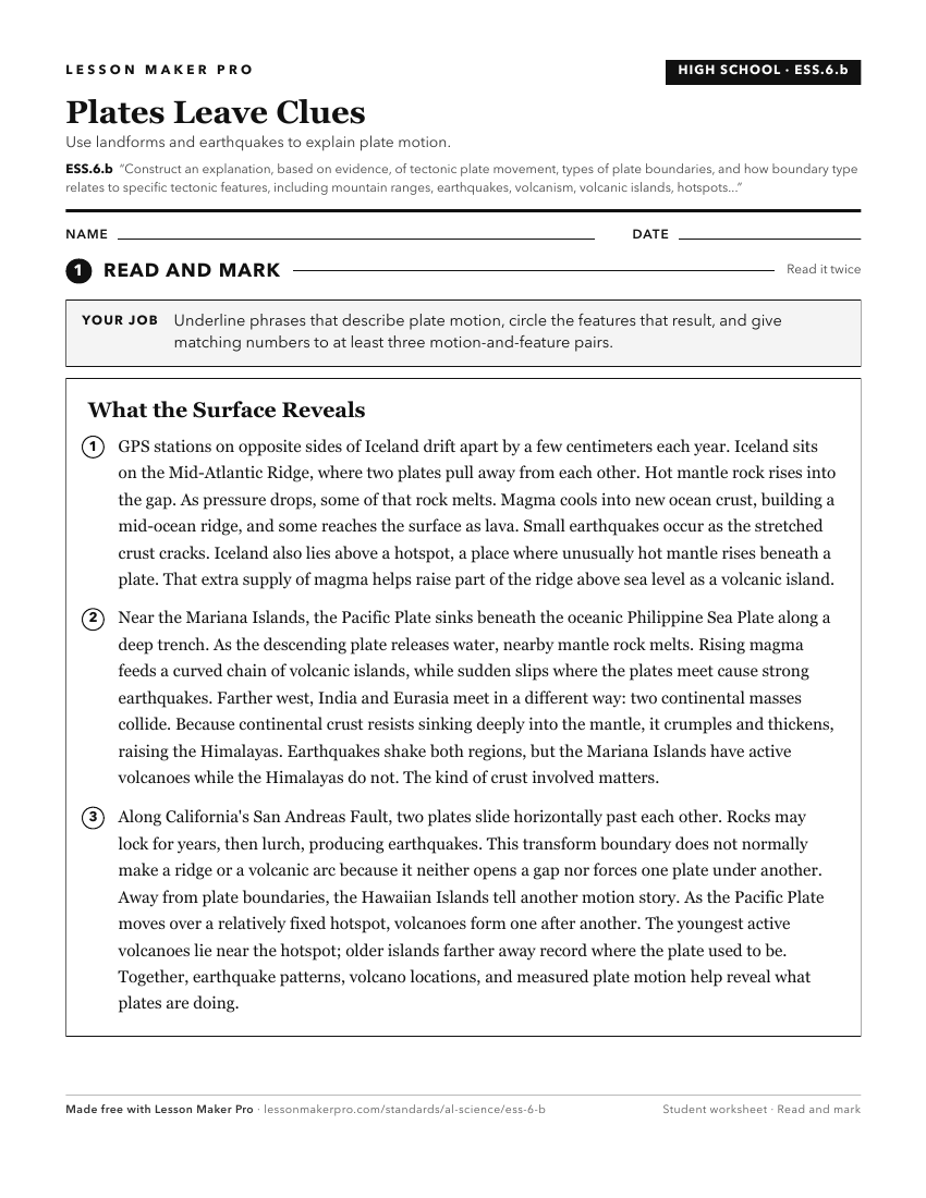
A ready-to-print activity worksheet aligned to ESS.6.b, with an answer key for the teacher on its own page. No account needed.
PDF, US Letter, prints cleanly in black and white.
Download the worksheetKeep exploring
Related Standards
- 6.6
Construct an evidence-based explanation of how tectonic plate movement impacts Earth’s surface over geological time.
- 6.6.b
Construct a scientific explanation of how the movement of lithospheric plates can cause major geologic events and form Earth’s surface features, including conve...
- 6.6.c
Provide evidence of past plate movements, using data regarding the distribution of fossils, rocks, continental shapes, and seafloor structures.
- ESS.6.a
Construct an evidence-based explanation of continental drift, basing conclusions on comparisons of coastlines, fossils, ages of rocks, climate, and magnetic pat...
Turn this exact standard into a lesson
Grade, subject, topic, and the complete standard are prefilled. Create one free, no account needed.
Also for this standard:Make a WorksheetMake a QuizMake a Sub Lesson