Virginia SOL 6.8
SOL Standard (Key Ideas Cluster)
The student will investigate and understand that land and water have roles in watershed systems. Key ideas include a watershed is composed of the land that drains into a body of water; Virginia is composed of multiple watershed systems which have specific features; the Chesapeake Bay is an estuary that has many important functions; and natural processes, human activities, and biotic and abiotic factors influence the health of a watershed system.
Virginia Standards of Learning for Science
Cluster contents
Key Ideas in This Standard
6.8 is a Standards of Learning science standard. These are the key ideas and practices under it.
- 6.8.a
a watershed is composed of the land that drains into a body of water
- 6.8.b
Virginia is composed of multiple watershed systems which have specific features
- 6.8.c
the Chesapeake Bay is an estuary that has many important functions
- 6.8.d
natural processes, human activities, and biotic and abiotic factors influence the health of a watershed system.
Teacher's field guide
What This Cluster Means
What Students Need to Do
- Students identify watershed boundaries and trace runoff from higher land into streams, rivers, and larger bodies of water. They locate major Virginia watersheds and explain how the Chesapeake Bay mixes fresh and salt water. They use biotic and abiotic evidence to explain how natural events and human actions change watershed health.
What Mastery Looks Like
- Given a map, a student can outline a drainage area and predict where rain or a pollutant will flow. The student can connect Virginia rivers to their receiving waters and explain how an estuary provides habitat, nursery grounds, and sediment filtering. They can judge watershed health using data such as dissolved oxygen, turbidity, nutrients, and organism counts.
Common Misconceptions
- Students may think a watershed is only the water, rather than the land area that drains into it. They may assume all Virginia water flows into the Chesapeake Bay, or that the bay is entirely fresh water. They may also confuse living indicators with nonliving water measurements.
How to Assess It
- Give students a contour map showing a stream flowing toward the Chesapeake Bay, a ridge, a farm, and a factory. Ask them to mark the watershed boundary, trace runoff, and predict one effect on the bay.
Lesson moves
Ways to Teach It
Build a crumpled-paper landscape, mark ridgelines, spray colored water, and trace where runoff collects.
Write a claim explaining whether heavy rain or fertilizer runoff poses the greater watershed threat, using two pieces of evidence.
Match Virginia river cards to their receiving waters, then race to arrange tributaries from smallest stream to final outlet.
Use a local water-quality report to judge stream health from dissolved oxygen, turbidity, nutrients, and macroinvertebrate data.
Free download
Printable 6.8 Worksheet
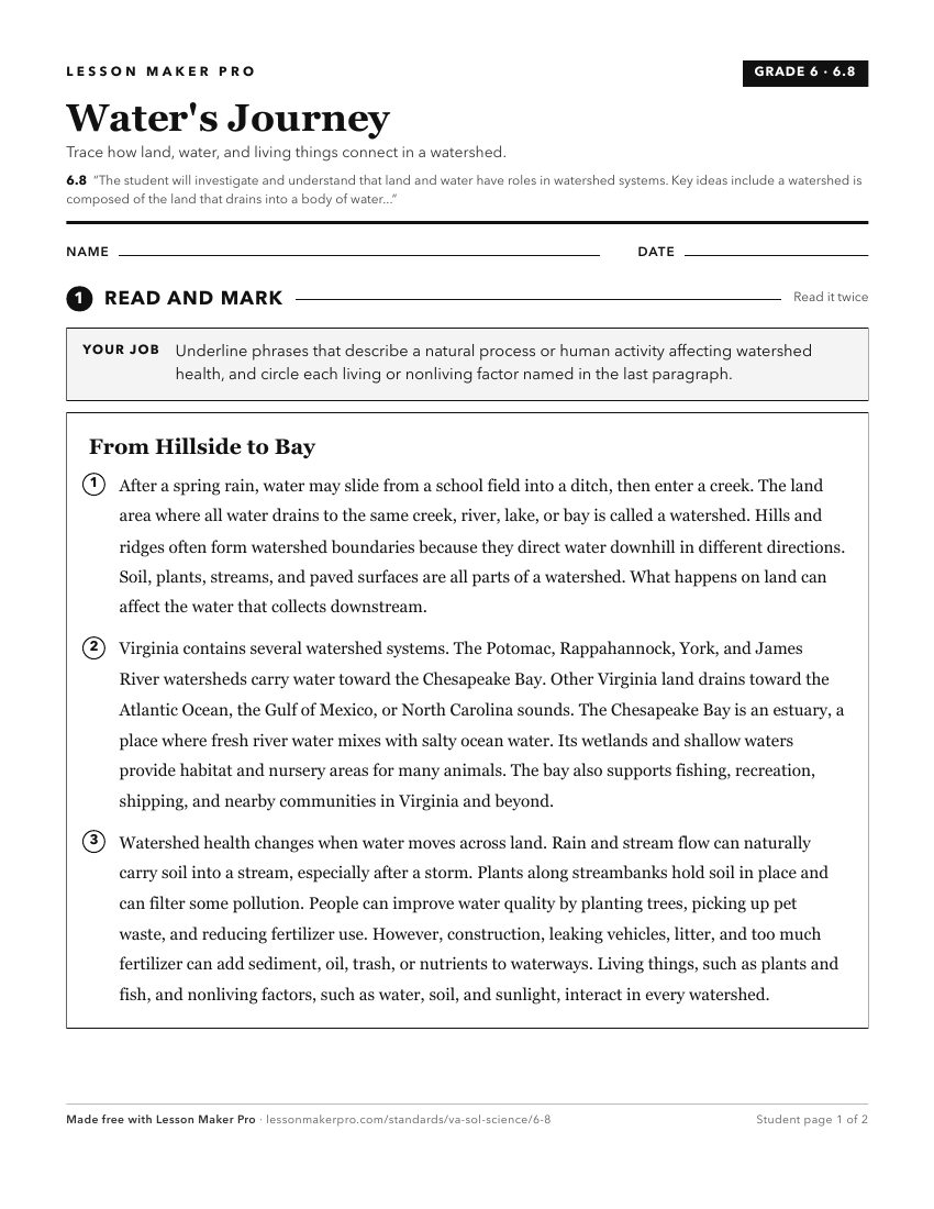
A ready-to-print activity worksheet aligned to 6.8, with an answer key for the teacher on its own page. No account needed.
PDF, US Letter, prints cleanly in black and white.
Download the worksheetKeep exploring
Related Standards
- 3.7
The student will investigate and understand that there is a water cycle and water is important to life on Earth. Key ideas include
- 3.6
The student will investigate and understand that soil is important in ecosystems. Key ideas include
- 6.6
The student will investigate and understand that water has unique physical properties and has a role in the natural and human-made environment. Key ideas includ...
- K.4
The student will investigate and understand that water is important in our daily lives and has properties. Key ideas include
Turn this cluster into a lesson
Grade, subject, topic, and the complete cluster are prefilled. Create one free, no account needed.
Also for this cluster:Make a WorksheetMake a QuizMake a Sub Lesson