Virginia SOL 6.8.a
The Standard
- 6.8
- The student will investigate and understand that land and water have roles in watershed systems. Key ideas include
a watershed is composed of the land that drains into a body of water
Virginia Standards of Learning for Science
Teacher's field guide
What This Standard Means
What Students Need to Do
- Students trace where rainwater will flow across a landscape. They use high points and ridgelines to outline the area feeding a chosen stream, lake, or river.
What Mastery Looks Like
- Given a map or model, a student can locate the outlet and mark the drainage boundary. The student can explain why water on opposite sides of a ridge flows to different places.
Common Misconceptions
- Students may think a watershed is only the river or lake itself. They may draw boundaries along waterways or county lines instead of following surrounding high ground.
How to Assess It
- Give students a simple contour map with one stream outlet marked. Ask them to draw the watershed boundary and add arrows showing runoff direction.
Lesson moves
Ways to Teach It
Crumple paper into hills, mark ridges and valleys, spray it with colored water, and trace which areas drain to one outlet.
Ask students to explain in writing why two nearby raindrops might reach different rivers.
Give pairs contour map cards and dry erase markers, then award points for correctly outlining each watershed and locating its outlet.
Open a local stream map and have students identify where rain falling near the school would likely travel.
Free download
Printable 6.8.a Worksheet
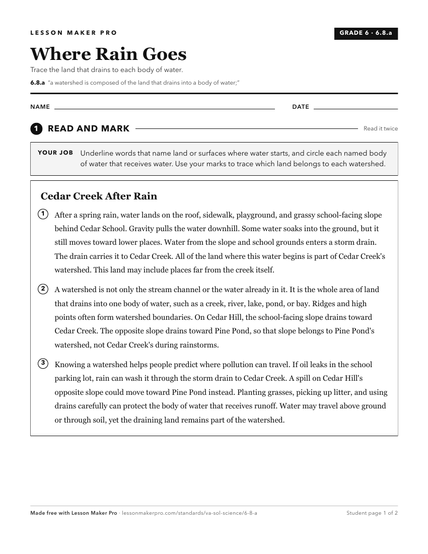
A ready-to-print activity worksheet aligned to 6.8.a, with an answer key for the teacher on its own page. No account needed.
PDF, US Letter, prints cleanly in black and white.
Download the worksheetKeep exploring
Related Standards
- 4.8.a
watersheds and water
- 6.8.b
Virginia is composed of multiple watershed systems which have specific features
- 6.8
The student will investigate and understand that land and water have roles in watershed systems. Key ideas include
- 6.8.d
natural processes, human activities, and biotic and abiotic factors influence the health of a watershed system.
Turn this exact standard into a lesson
Grade, subject, topic, and the complete standard are prefilled. Create one free, no account needed.
Also for this standard:Make a WorksheetMake a QuizMake a Sub Lesson