Virginia SOL 4.8.a
The Standard
- 4.8
- The student will investigate and understand that Virginia has important natural resources. Key resources include
watersheds and water
Virginia Standards of Learning for Science
Teacher's field guide
What This Standard Means
What Students Need to Do
- Students trace how rainwater moves across land into streams, rivers, lakes, and bays. They explain how people use water and how runoff affects watershed health.
What Mastery Looks Like
- Given a simple map, students can identify high land, waterways, and the shared drainage area. They can predict where runoff travels and explain one effect of pollution.
Common Misconceptions
- Students may think a watershed is only the river or lake, rather than all the land draining into it. They may assume watershed boundaries follow county or state lines.
How to Assess It
- Give students a map with hills, a stream, and a factory. Ask them to trace runoff and explain how a spill could affect downstream water.
Lesson moves
Ways to Teach It
Crumple wax paper into hills, spray colored water onto it, and mark where runoff collects and forms connected waterways.
Ask students to write: How could litter dropped near our school reach a river or bay?
Have teams sort picture cards into watershed sources, water uses, runoff pollutants, and water protection actions.
Map nearby storm drains and use a local map to trace their likely path toward a stream, river, or the Chesapeake Bay.
Free download
Printable 4.8.a Worksheet
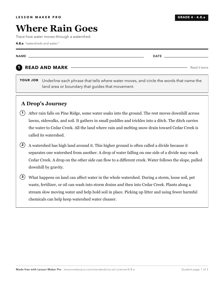
A ready-to-print activity worksheet aligned to 4.8.a, with an answer key for the teacher on its own page. No account needed.
PDF, US Letter, prints cleanly in black and white.
Download the worksheetKeep exploring
Related Standards
Turn this exact standard into a lesson
Grade, subject, topic, and the complete standard are prefilled. Create one free, no account needed.
Also for this standard:Make a WorksheetMake a QuizMake a Sub Lesson