Texas TEKS 5.6.D
The Standard
- 5.6
- Geography. The student understands places and regions in the United States. The student is expected to:
create a map of important physical features such as the Appalachian Mountains, Great Lakes, Mississippi River, Great Plains, and Rocky Mountains.
Texas Essential Knowledge and Skills for Social Studies
Teacher's field guide
What This Standard Means
What Students Need to Do
- Students place and label major U.S. landforms and bodies of water on a map. They use direction, shape, and nearby regions to position each feature accurately.
What Mastery Looks Like
- Students can draw and label the Appalachian Mountains, Great Lakes, Mississippi River, Great Plains, and Rocky Mountains on a blank U.S. map. Their placements show correct relative locations.
Common Misconceptions
- Students often reverse the Appalachian and Rocky Mountains or place the Great Plains too far east. They may draw the Mississippi River east to west or treat the Great Lakes as one lake.
How to Assess It
- Give students a blank U.S. outline and ask them to draw and label all five features, then circle one landform and one body of water.
Lesson moves
Ways to Teach It
Build a raised-relief U.S. map with clay, blue yarn, and labels for the five target features.
Write three location clues for one feature, then have a partner identify it and explain the evidence.
Play map relay: teams place feature cards on a blank U.S. outline, then check and correct each location.
Trace a trip from the Atlantic Coast to the Pacific, naming each major feature crossed and how it might affect travel.
Free download
Printable 5.6.D Worksheet
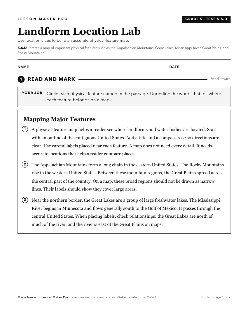
A ready-to-print activity worksheet aligned to 5.6.D, with an answer key for the teacher on its own page. No account needed.
PDF, US Letter, prints cleanly in black and white.
Download the worksheetKeep exploring
Related Standards
- 8.10.B
compare places and regions of the United States in terms of physical and human characteristics
- 2.4.A
identify major landforms and bodies of water, including each of the seven continents and each of the oceans, on maps and globes
- 7.8.A
locate and compare the Mountains and Basins, Great Plains, North Central Plains, and Coastal Plains regions
- 6.3.C
identify and locate major physical and human geographic features such as landforms, water bodies, and urban centers of various places and regions
Turn this exact standard into a lesson
Grade, subject, topic, and the complete standard are prefilled. Create one free, no account needed.
Also for this standard:Make a WorksheetMake a QuizMake a Sub Lesson