Texas TEKS 7.8.A
The Standard
- 7.8
- Geography. The student understands the location and characteristics of places and regions of Texas. The student is expected to:
locate and compare the Mountains and Basins, Great Plains, North Central Plains, and Coastal Plains regions
Texas Essential Knowledge and Skills for Social Studies
Teacher's field guide
What This Standard Means
What Students Need to Do
- Students identify the four major physical regions of Texas on a map. They compare each region by location, landforms, climate, elevation, and vegetation.
What Mastery Looks Like
- Students can label all four regions on a blank Texas map and describe where each lies. They can give at least two accurate similarities or differences between regions.
Common Misconceptions
- Students often confuse the Great Plains with the North Central Plains because both names include plains. They may think the Coastal Plains only cover the shoreline or place the Mountains and Basins across all of West Texas.
How to Assess It
- Give students a blank Texas map and ask them to label the four regions. Then have them write two differences between any two regions.
Lesson moves
Ways to Teach It
Give pairs a blank Texas map, four colored pencils, and landform cards to place, shade, and label each region.
Ask: How would land, rainfall, and vegetation change on a drive from El Paso to Houston?
Play Region Relay: teams match city, landform, climate, and vegetation cards to the correct region on a wall map.
Have students plan a Texas road trip and explain how terrain in three regions would affect travel, clothing, and activities.
Free download
Printable 7.8.A Worksheet
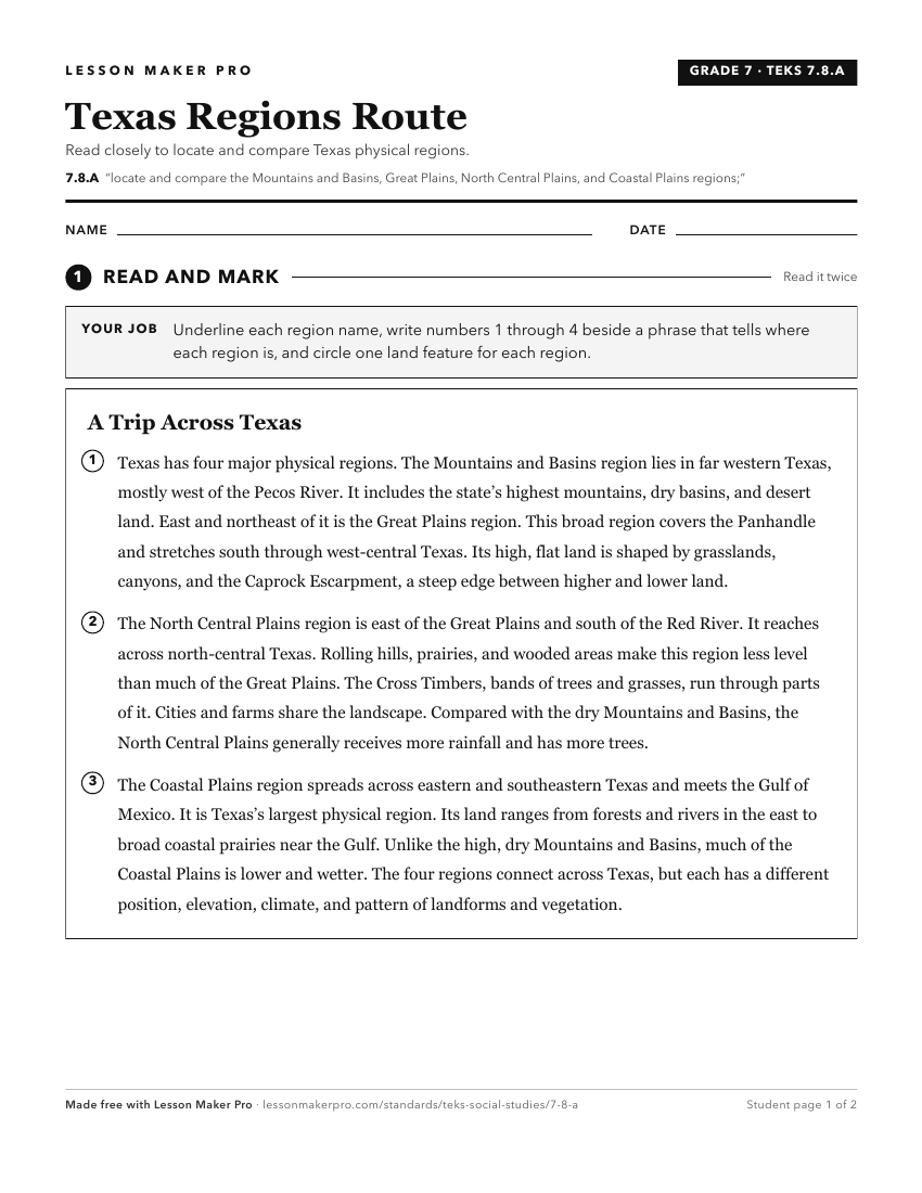
A ready-to-print activity worksheet aligned to 7.8.A, with an answer key for the teacher on its own page. No account needed.
PDF, US Letter, prints cleanly in black and white.
Download the worksheetKeep exploring
Related Standards
- 4.6.A
identify, locate, and describe the physical regions of Texas (Mountains and Basins, Great Plains, North Central Plains, Coastal Plains), including their charact...
- 4.6.B
compare the physical regions of Texas (Mountains and Basins, Great Plains, North Central Plains, Coastal Plains).
- 8.10.B
compare places and regions of the United States in terms of physical and human characteristics
- 5.6.D
create a map of important physical features such as the Appalachian Mountains, Great Lakes, Mississippi River, Great Plains, and Rocky Mountains.
Turn this exact standard into a lesson
Grade, subject, topic, and the complete standard are prefilled. Create one free, no account needed.
Also for this standard:Make a WorksheetMake a QuizMake a Sub Lesson