Oklahoma Social Studies WG.C.5.1
The Standard
- WG.C.5
- Analyze patterns of land use among the world’s people.
Analyze settlement patterns associated with major agricultural regions and linkages among regions of food production and consumption.
Oklahoma Academic Standards for Social Studies (2026) · WG.C.5
Teacher's field guide
What This Standard Means
What Students Need to Do
- Students use maps to see where people live in major farming regions. They explain how water, farm work, and transportation shape settlements. They trace food from growing regions to the cities that buy it.
What Mastery Looks Like
- A student can explain why large wheat farms in the Great Plains are far apart and why Central Valley towns sit near irrigated fields. They can trace California produce by truck to Los Angeles.
Common Misconceptions
- Students may assume food is grown near the cities that eat it. They may also think all farm regions have the same settlement pattern, or overlook the roads and rail lines that move food.
How to Assess It
- Exit ticket: Why are Great Plains wheat farms often far apart? Name a city that buys wheat products from the region and one way the wheat gets there.
Lesson moves
Ways to Teach It
Give pairs printed crop, population, and highway maps; have them mark Central Valley farm towns and draw a produce route to Los Angeles.
Ask students to write why wheat farms in the Great Plains are farther apart than many Central Valley farm towns.
Deal cards labeled wheat, strawberries, Kansas, Central Valley, Chicago, and Los Angeles; teams match crops to regions and draw delivery routes.
Bring produce stickers showing places of origin; students locate each place and sketch a likely route to a local grocery store.
Free download
Printable WG.C.5.1 Worksheet
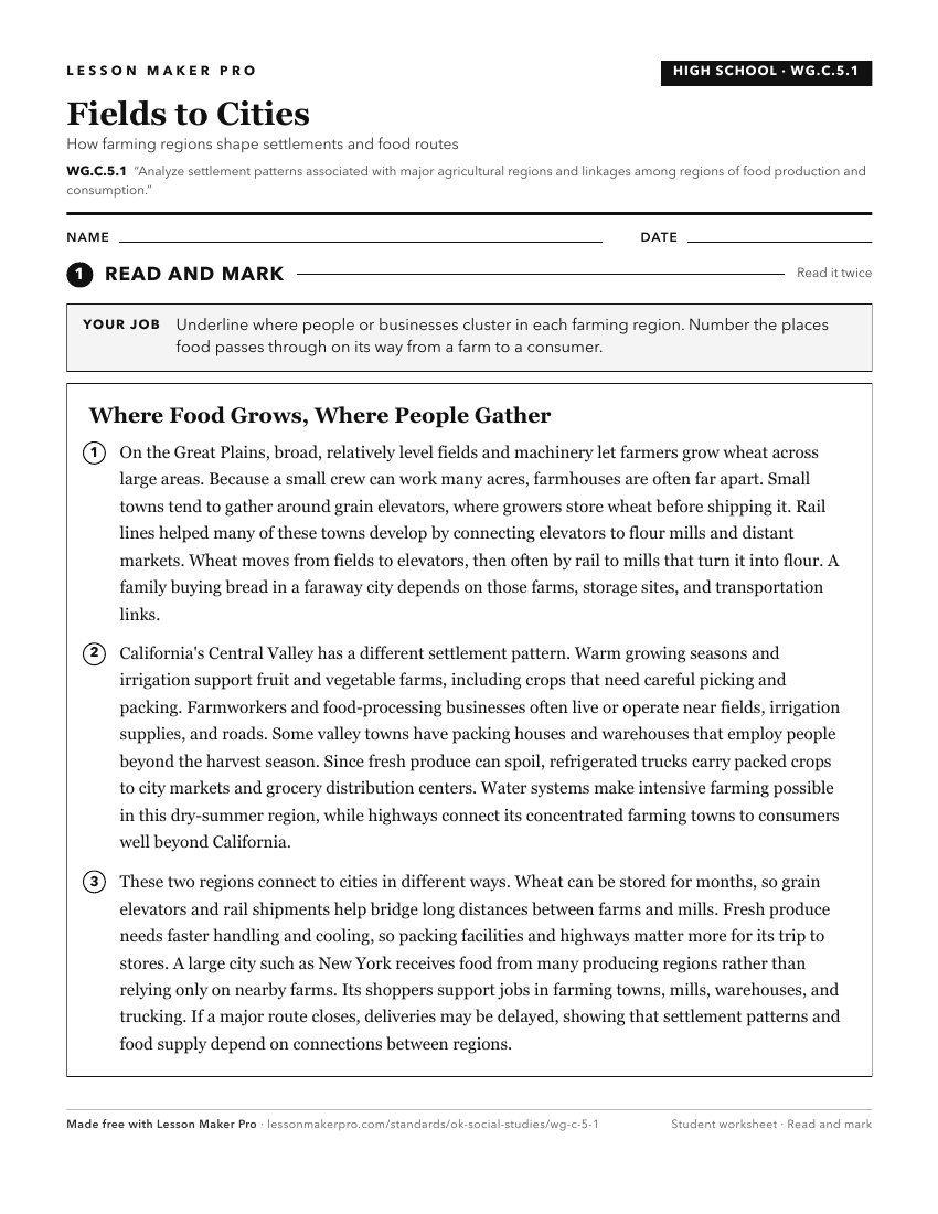
A ready-to-print activity worksheet aligned to WG.C.5.1, with an answer key for the teacher on its own page. No account needed.
PDF, US Letter, prints cleanly in black and white.
Download the worksheetKeep exploring
Related Standards
- WG.C.5
Analyze patterns of land use among the world’s people.
- WG.C.3
Analyze the components and regional variations of cultural patterns and processes.
- 4.C.2.2.C
Draw conclusions from geographic data to explain how climate, vegetation, and bodies of water can affect the location and growth of settlements and the developm...
- WG.C.1.3
Define regions and analyze changing interconnections among places, using historical and contemporary examples.
Turn this exact standard into a lesson
Grade, subject, topic, and the complete standard are prefilled. Create one free, no account needed.
Also for this standard:Make a WorksheetMake a QuizMake a Sub Lesson