Oklahoma Social Studies TOT.P.2.3
Standard Cluster
Demonstrate a mastery of geographic concepts and the use of geographic tools to understand the impact of geography on the past and present. Actively engage in asking and answering geographic questions by acquiring, organizing, and analyzing multiple sources of data and information about the world’s past and present. Compare and analyze complex maps and mapping technologies to analyze spatial patterns of human and physical environments, explaining relationships between the environment and events, past and present. Evaluate the extent to which political and economic decisions have had significant impact on human and physical environments of various places and regions.
Oklahoma Academic Standards for Social Studies (2026)
Cluster contents
Standards in This Cluster
TOT.P.2.3 is a cluster heading. These are the individual standards under it.
- TOT.P.2.3.A
Actively engage in asking and answering geographic questions by acquiring, organizing, and analyzing multiple sources of data and information about the world’s ...
- TOT.P.2.3.B
Compare and analyze complex maps and mapping technologies to analyze spatial patterns of human and physical environments, explaining relationships between the e...
- TOT.P.2.3.C
Evaluate the extent to which political and economic decisions have had significant impact on human and physical environments of various places and regions.
Teacher's field guide
What This Cluster Means
What Students Need to Do
- Students ask where physical conditions and human activity overlap. They compare maps and other records from different dates, then use the evidence to explain how land use and water decisions changed a place.
What Mastery Looks Like
- A student can use map keys and dates to support a claim about the southern Plains with evidence from two sources. They can explain how drought and farming choices both contributed to change without treating an overlap on a map as proof of cause.
Common Misconceptions
- Students may treat two patterns that overlap as proof that one caused the other. They may also compare maps from different years without checking dates, boundaries, or map keys.
How to Assess It
- Show a 1930s Oklahoma drought map and cropland map. Ask: “Where do dry conditions and cropland overlap, how might plowing affect that land, and what other evidence would help test your answer?”
Lesson moves
Ways to Teach It
Overlay printed 1930s drought and cropland maps of Oklahoma with tracing paper, then circle places where dry weather and farming overlap.
Ask students: What can the two maps show about Dust Bowl damage, and what can they not prove about its causes?
Play map claim sort with USGS aquifer-level and irrigation maps, then have students reject claims the maps cannot support.
Use current groundwater and irrigation maps to write a two-sentence recommendation on pumping limits for a southern Plains water board.
Free download
Printable TOT.P.2.3 Worksheet
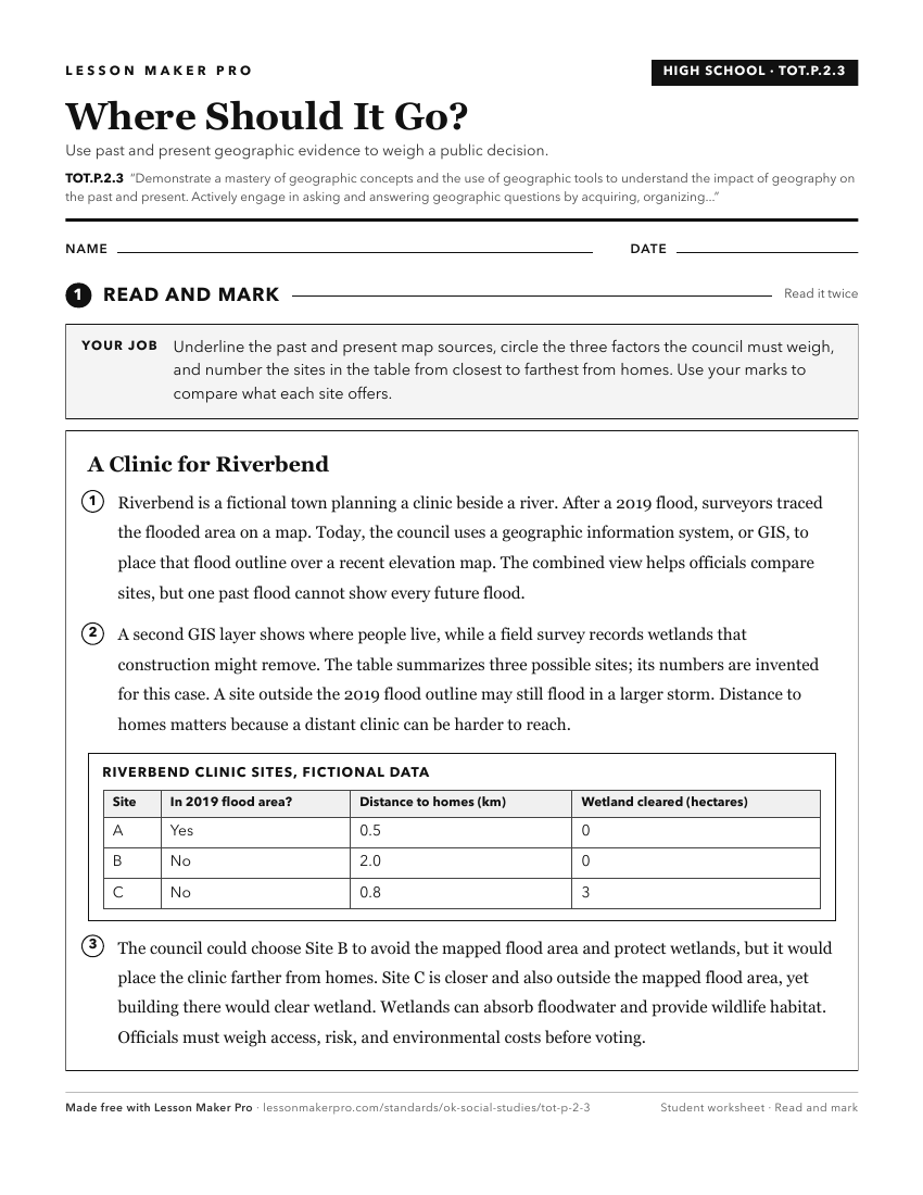
A ready-to-print activity worksheet aligned to TOT.P.2.3, with an answer key for the teacher on its own page. No account needed.
PDF, US Letter, prints cleanly in black and white.
Download the worksheetKeep exploring
Related Standards
- 3.P.2.3
Demonstrate a mastery of geographic concepts and the use of geographic tools to understand the impact of geography on the past and present.
- 5.P.2.3
Demonstrate a mastery of geographic concepts and the use of geographic tools to understand the impact of geography on the past and present.
- 2.P.2.3
Demonstrate a mastery of geographic concepts and the use of geographic tools to understand the impact of geography on the past and present.
- 1.P.2.3
Demonstrate a mastery of geographic concepts and the use of geographic tools to understand the impact of geography on the past and present.
Turn this cluster into a lesson
Grade, subject, topic, and the complete cluster are prefilled. Create one free, no account needed.
Also for this cluster:Make a WorksheetMake a QuizMake a Sub Lesson