Indiana Social Studies WG.1.1
The Standard
Use locational technology such as longitude, latitude, and remote sensing, Global Positioning Systems (GPS) and Geographic Information Systems (GIS), to establish spatial relationships.
2026 Indiana Academic Standards: K-12 Social Studies
Teacher's field guide
What This Standard Means
What Students Need to Do
- Students use latitude, longitude, and GPS coordinates to find places. They compare satellite images and GIS map layers to describe distance, direction, and patterns, such as towns near rivers.
What Mastery Looks Like
- A student can plot two coordinate pairs and tell which place is farther north or east. They can use a satellite image and a map layer to explain a spatial relationship with evidence.
Common Misconceptions
- Students may swap latitude and longitude or read west longitude as east. They may assume a satellite image shows current conditions or that one GPS point reveals a wider pattern.
How to Assess It
- On a map, have students plot 40°N, 75°W and 30°N, 90°W. Ask which point is northeast and which GIS layer they would add to compare flood risk.
Lesson moves
Ways to Teach It
In Google Earth, enter coordinates for two cities, place pins, and use satellite images to compare nearby rivers and roads.
Show a satellite image and a GIS floodplain layer for one neighborhood; ask what each shows about homes near the river.
Give pairs coordinate cards and a wall map; have them place each point and name its direction from the previous one.
Use a phone GPS at the school entrance and a town map to find the nearest park and estimate walking distance.
Free download
Printable WG.1.1 Worksheet
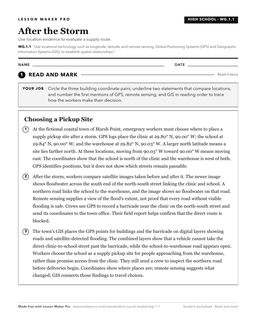
A ready-to-print activity worksheet aligned to WG.1.1, with an answer key for the teacher on its own page. No account needed.
PDF, US Letter, prints cleanly in black and white.
Download the worksheetKeep exploring
Related Standards
- WG.1.4
Evaluate the applications of geographic tools (locational technologies) and supporting technologies to serve particular purposes.
- IS.3.1
Use latitude and longitude to identify physical and human features of Indiana understanding their locational importance relative to significant Earth features (...
- 3.G.1
Use labels and symbols to locate and identify physical and political features on maps and globes.
- WG.1.5
Ask geographic questions and obtain answers from a variety of sources, such as books, atlases and other written materials; statistical source material; fieldwor...
Turn this exact standard into a lesson
Grade, subject, topic, and the complete standard are prefilled. Create one free, no account needed.
Also for this standard:Make a WorksheetMake a QuizMake a Sub Lesson