Indiana Social Studies IS.3.1
The Standard
Use latitude and longitude to identify physical and human features of Indiana understanding their locational importance relative to significant Earth features (equator, prime meridian, International Date Line).
2026 Indiana Academic Standards: K-12 Social Studies
Teacher's field guide
What This Standard Means
What Students Need to Do
- Students use latitude and longitude to find Indiana cities and landforms on a map. They use a world map to place Indiana north of the equator, west of the prime meridian, and far from the International Date Line.
What Mastery Looks Like
- A student can plot Indianapolis and Indiana Dunes from their coordinates on a gridded map. They can explain what N and W mean and find the International Date Line near 180° longitude.
Common Misconceptions
- Students may swap latitude and longitude or read west longitude as east, placing Indiana in the wrong spot. Some confuse the International Date Line with the prime meridian at 0° longitude.
How to Assess It
- On a gridded Indiana map, have students plot Indianapolis (39.8° N, 86.2° W) and Indiana Dunes (41.7° N, 87.1° W). On a world map, have them label the equator, prime meridian, and International Date Line, then name Indiana's hemispheres.
Lesson moves
Ways to Teach It
Give pairs a gridded Indiana map; have them plot Indianapolis at 39.8° N, 86.2° W and Indiana Dunes at 41.7° N, 87.1° W.
Ask students to explain why Indiana coordinates use N and W and how those labels change across the equator and prime meridian.
Play coordinate bingo with Indiana city and landform cards; call a coordinate, and students match it to a labeled atlas map.
Project a map app showing your school's coordinates; students mark the school on a world map and compare it with the date line.
Free download
Printable IS.3.1 Worksheet
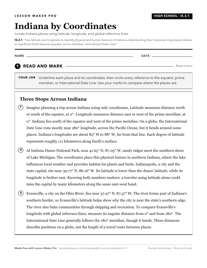
A ready-to-print activity worksheet aligned to IS.3.1, with an answer key for the teacher on its own page. No account needed.
PDF, US Letter, prints cleanly in black and white.
Download the worksheetKeep exploring
Related Standards
- IS.3.2
Map and describe the physical regions of Indiana and identify major natural resources and land use regions.
- 4.G.3
Map and describe the physical regions of Indiana and identify major natural resources and agricultural/crop regions.
- 2.G.2
Locate the equator, the poles, continents, and hemispheres on a world map and on a globe; identify the local community, city, Indiana, the United States, and No...
- 4.G.2
Locate Indiana on a map as one of the 50 United States. Identify and describe the location of the state capital, major cities, and rivers in Indiana.
Turn this exact standard into a lesson
Grade, subject, topic, and the complete standard are prefilled. Create one free, no account needed.
Also for this standard:Make a WorksheetMake a QuizMake a Sub Lesson