Indiana Social Studies 4.G.2
The Standard
Locate Indiana on a map as one of the 50 United States. Identify and describe the location of the state capital, major cities, and rivers in Indiana.
2026 Indiana Academic Standards: K-12 Social Studies
Teacher's field guide
What This Standard Means
What Students Need to Do
- Students find Indiana between Illinois and Ohio on a U.S. map. On a state map, they label Indianapolis, other major cities, and major rivers. They use directions and landmarks to describe where each is.
What Mastery Looks Like
- On blank maps, a student finds Indiana and places Indianapolis near the center, Fort Wayne in the northeast, and Evansville in the southwest. They trace the Ohio River along the southern border and the Wabash River along part of the western border.
Common Misconceptions
- Students may confuse Indiana with Illinois or place Indianapolis on the Ohio River. They may draw the Ohio River through the middle of Indiana instead of along its southern border.
How to Assess It
- Give students blank U.S. and Indiana maps. Ask them to circle Indiana, label Indianapolis, Fort Wayne, Evansville, the Ohio River, and the Wabash River, then write one sentence describing a city's location.
Lesson moves
Ways to Teach It
Have pairs circle Indiana on a U.S. map, then use sticky dots and blue pencils to mark three cities and two rivers.
Show a labeled Indiana map and ask, "How would you describe Evansville's location to someone who cannot see the map?"
Play a map-label relay: teams place city and river name cards on blank Indiana maps, then check their placements against an atlas.
Use an Indiana road map to plan a trip from Indianapolis to Evansville, naming the direction traveled and the river near Evansville.
Free download
Printable 4.G.2 Worksheet
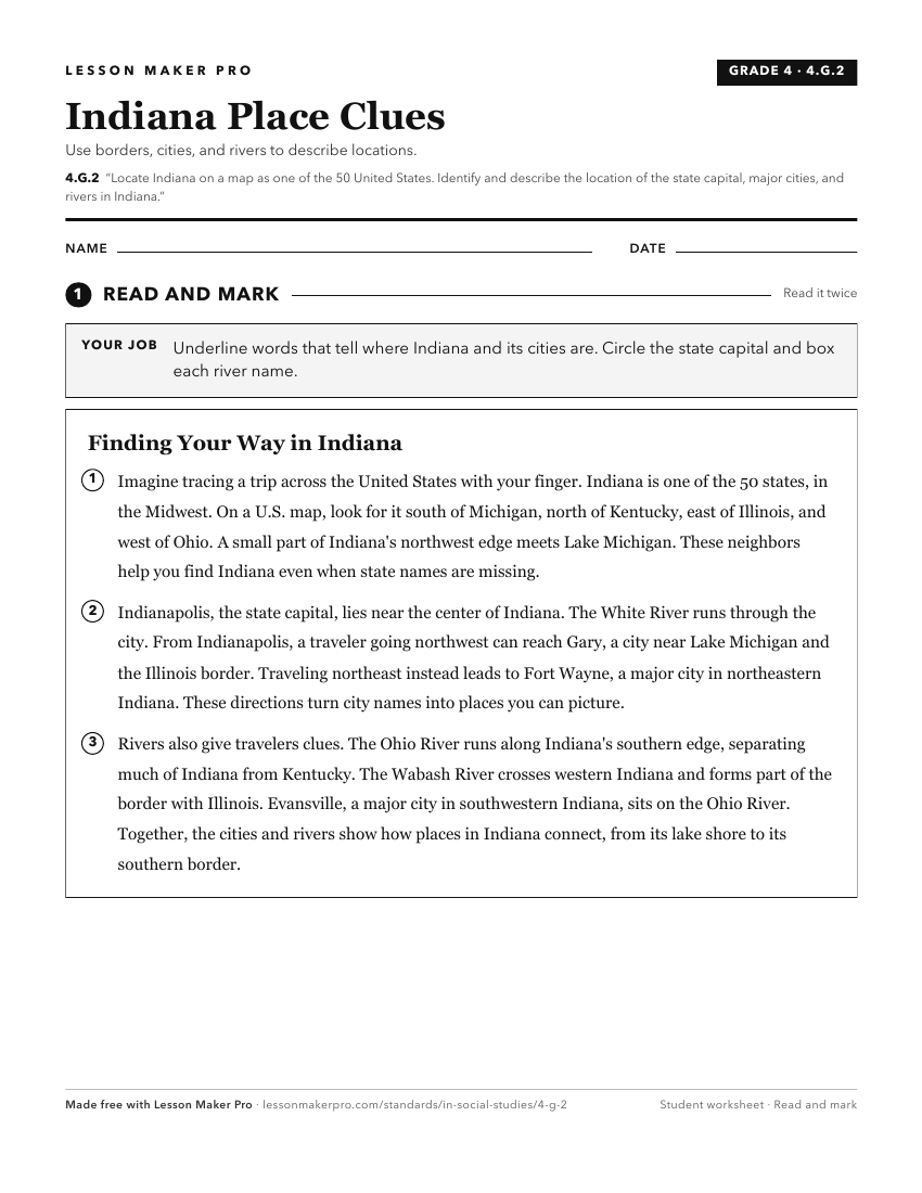
A ready-to-print activity worksheet aligned to 4.G.2, with an answer key for the teacher on its own page. No account needed.
PDF, US Letter, prints cleanly in black and white.
Download the worksheetKeep exploring
Related Standards
- IS.3.2
Map and describe the physical regions of Indiana and identify major natural resources and land use regions.
- 4.G.3
Map and describe the physical regions of Indiana and identify major natural resources and agricultural/crop regions.
- IS.3.1
Use latitude and longitude to identify physical and human features of Indiana understanding their locational importance relative to significant Earth features (...
- 3.G.6
Compare and contrast the physical characteristics of Indiana to neighboring states using words, illustrations, maps, photographs, and other resources.
Turn this exact standard into a lesson
Grade, subject, topic, and the complete standard are prefilled. Create one free, no account needed.
Also for this standard:Make a WorksheetMake a QuizMake a Sub Lesson